UN/LOCODE hub · Mexico
MXZCA
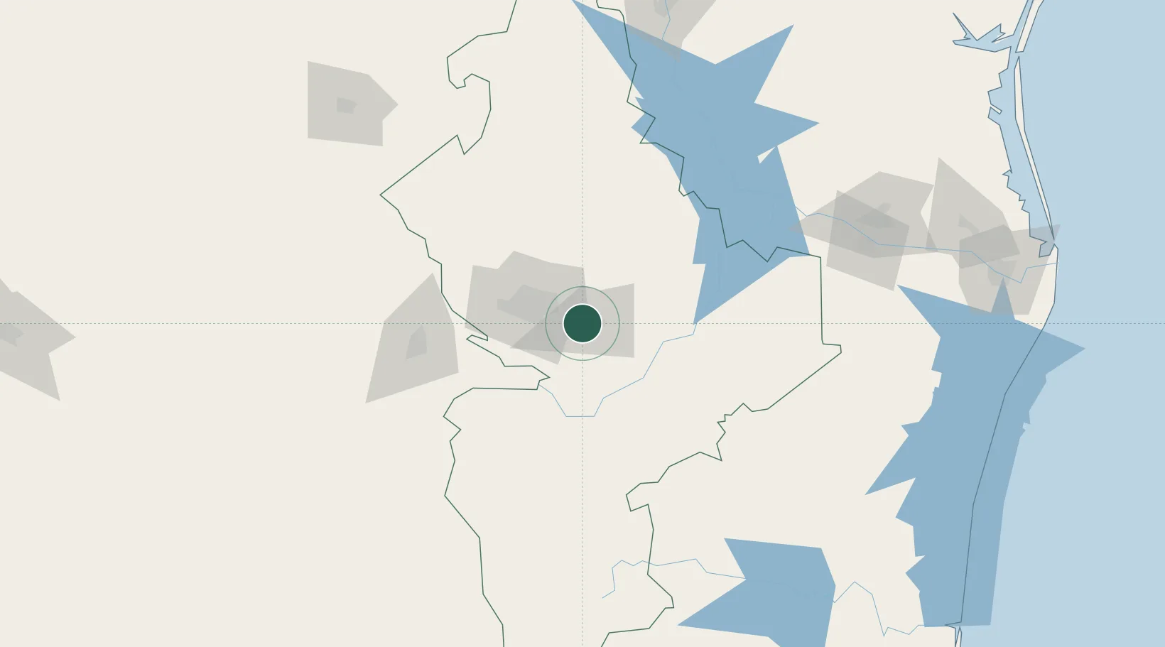
Cadereyta Jiménez
25.6000°, -100.0000°
68,111
Population
4
Transport functions
Transport Functions
Port
Rail
Road
Multimodal
Hub Profile
Place type
Provincial seat
Region
Nuevo León
Population
68,111
Time zone
America/Monterrey
Elevation
330 m
Location
Nearby Logistics Neighbours
Cities
- 1San Nicolás de los Garza34 km
- 2Garza García41 km
- 3General Terán49 km
- 4Villa de García64 km
- 5Arteaga88 km
Ports
- 1Brownsville263 km
- 2Port Isabel285 km
- 3Corpus Christi357 km
- 4Port Ingleside373 km
- 5Port Aransas384 km
Airports
Trade Zones
- 1FTZ No. 095 Starr County146 km
- 2FTZ No. 012 McAllen184 km
- 3FTZ No. 156 Weslaco207 km
- 4FTZ No. 157 Casper207 km
- 5FTZ No. 094 Laredo223 km
DatabookThe Record of Consolidated Knowledge
Mexico beyond logistics?