UN/LOCODE hub · Mexico
MXSND

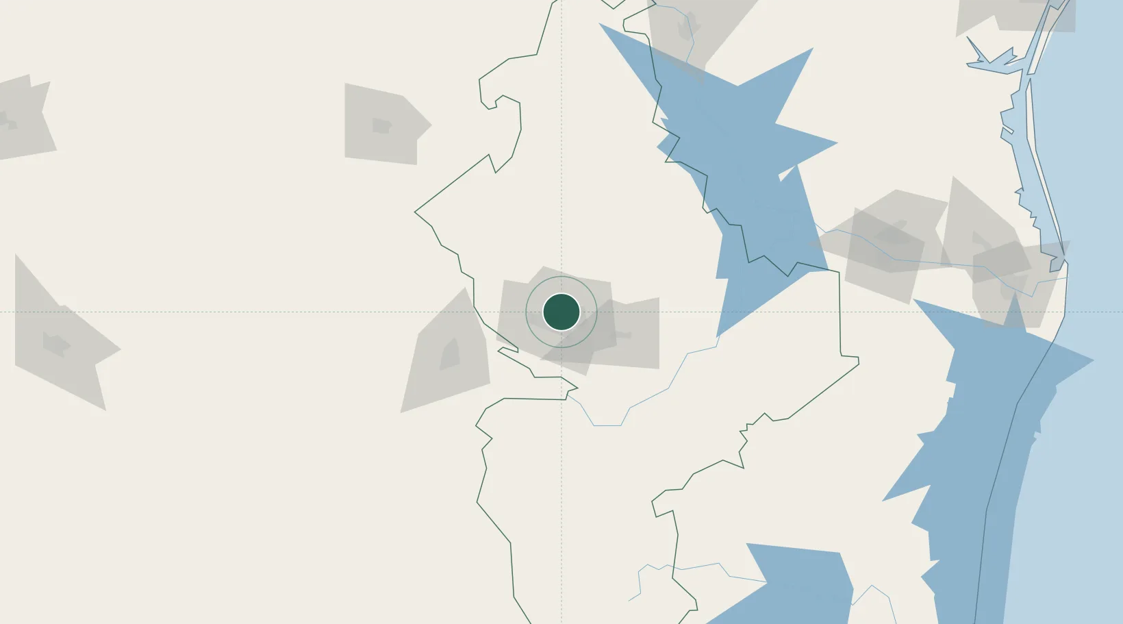
San Nicolás de los Garza

25.7500°, -100.3000°
412,199
Population
2
Transport functions

Transport Functions

Rail
Road
UN/LOCODE

Hub Profile

Place type
Populated place
GeoNames
Region
Nuevo León
GeoNames
Population
412,199
GeoNames
Time zone
America/Monterrey
GeoNames
Elevation
510 m
GeoNames

Location

Location of MXSND
Natural Earth 10m (public domain) · Nuevo León · MXSND · 25.75, -100.30GoogleOSMYandex

Nearby Logistics Neighbours

Cities
  1. 1Garza García14 km
  2. 2Villa de García31 km
  3. 3Cadereyta Jiménez34 km
  4. 4Arteaga67 km
  5. 5General Terán82 km
Nearest neighbours — logibook spatial index (haversine) over the source coordinates
Ports
  1. 1Brownsville291 km
  2. 2Port Isabel312 km
  3. 3Corpus Christi368 km
  4. 4Port Ingleside385 km
  5. 5Port Aransas397 km
Nearest neighbours — logibook spatial index (haversine) over the source coordinates
Airports
  1. 1Del Norte International Airport14 km
  2. 2Monterrey International Airport20 km
  3. 3Plan De Guadalupe International Airport67 km
  4. 4Monclova International Airport178 km
  5. 5Cedros Airport195 km
Nearest neighbours — logibook spatial index (haversine) over the source coordinates
Trade Zones
  1. 1FTZ No. 095 Starr County164 km
  2. 2FTZ No. 012 McAllen208 km
  3. 3FTZ No. 094 Laredo216 km
  4. 4FTZ No. 156 Weslaco232 km
  5. 5FTZ No. 157 Casper232 km
Nearest neighbours — logibook spatial index (haversine) over the source coordinates
DatabookThe Record of Consolidated Knowledge
Mexico beyond logistics?
Browse databook

All Sources

LocationsUN/LOCODE
UN/LOCODE — free
LocationsGeoNames
CC BY 4.0
Portsthe NGA World Port Index
Public domain (US gov)
AirportsOurAirports
Public domain
Trade Zonesthe World Bank SEZ database
CC BY 4.0
Trade ZonesOpen Zone Map
CC BY
← Mexico locations