UN/LOCODE hub · Mexico
MXGET

General Terán

25.2667°, -99.6833°
2
Transport functions

Transport Functions

Port
Road
UN/LOCODE

Hub Profile

Region
NLE
GeoNames

Location

Location of MXGET
Natural Earth 10m (public domain) · NLE · MXGET · 25.27, -99.68GoogleOSMYandex

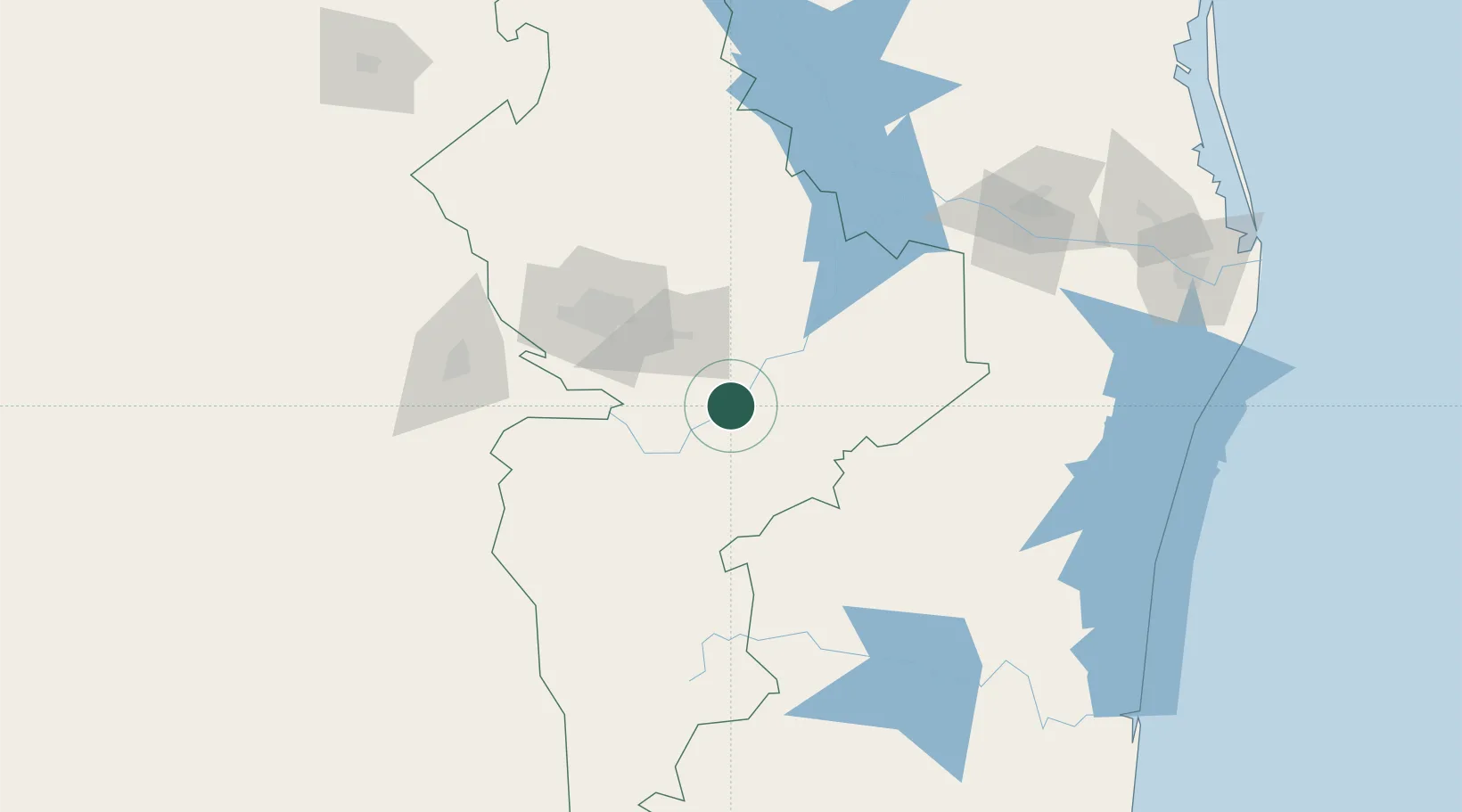
Nearby Logistics Neighbours

Cities
  1. 1Lampazos45 km
  2. 2Linares48 km
  3. 3Cadereyta Jiménez49 km
  4. 4San Nicolás de los Garza82 km
  5. 5Garza García85 km
Nearest neighbours — logibook spatial index (haversine) over the source coordinates
Ports
  1. 1Brownsville241 km
  2. 2Port Isabel265 km
  3. 3Altamira361 km
  4. 4Corpus Christi363 km
  5. 5Port Ingleside377 km
Nearest neighbours — logibook spatial index (haversine) over the source coordinates
Airports
  1. 1Monterrey International Airport71 km
  2. 2Del Norte International Airport87 km
  3. 3Plan De Guadalupe International Airport129 km
  4. 4General Lucio Blanco International Airport168 km
  5. 5McAllen Miller International Airport177 km
Nearest neighbours — logibook spatial index (haversine) over the source coordinates
Trade Zones
  1. 1FTZ No. 095 Starr County151 km
  2. 2FTZ No. 012 McAllen172 km
  3. 3FTZ No. 156 Weslaco194 km
  4. 4FTZ No. 157 Casper194 km
  5. 5FTZ No. 062 Brownsville240 km
Nearest neighbours — logibook spatial index (haversine) over the source coordinates
DatabookThe Record of Consolidated Knowledge
Mexico beyond logistics?
Browse databook

All Sources

LocationsUN/LOCODE
UN/LOCODE — free
Portsthe NGA World Port Index
Public domain (US gov)
AirportsOurAirports
Public domain
Trade Zonesthe World Bank SEZ database
CC BY 4.0
Trade ZonesOpen Zone Map
CC BY
← Mexico locations