UN/LOCODE hub · Mexico
MXMAZ

Mazamitla

19.9167°, -103.0333°
7,865
Population
2
Transport functions

Transport Functions

Port
Road
UN/LOCODE

Hub Profile

Place type
Provincial seat
GeoNames
Region
Jalisco
GeoNames
Population
7,865
GeoNames
Time zone
America/Mexico_City
GeoNames
Elevation
2,253 m
GeoNames

Location

Location of MXMAZ
Natural Earth 10m (public domain) · Jalisco · MXMAZ · 19.92, -103.03GoogleOSMYandex

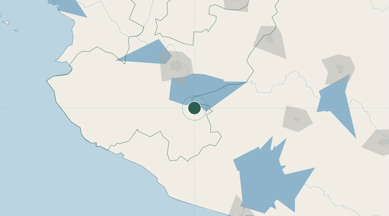
Nearby Logistics Neighbours

Cities
  1. 1Jiquilpan de Juarez34 km
  2. 2Chapala46 km
  3. 3Ciudad Guzmán50 km
  4. 4Ixtlahuacan de los Membrillos51 km
  5. 5Ocotlan54 km
Nearest neighbours — logibook spatial index (haversine) over the source coordinates
Ports
  1. 1Manzanillo166 km
  2. 2Lazaro Cardenas239 km
  3. 3Puerto Vallarta246 km
  4. 4Acapulco473 km
  5. 5Mazatlan506 km
Nearest neighbours — logibook spatial index (haversine) over the source coordinates
Trade Zones
  1. 1The Special Economic Zone of Lázaro Cárdenas - La Unión239 km
  2. 2FTZ No. 095 Starr County838 km
  3. 3FTZ No. 012 McAllen847 km
  4. 4FTZ No. 156 Weslaco863 km
  5. 5FTZ No. 157 Casper863 km
Nearest neighbours — logibook spatial index (haversine) over the source coordinates
DatabookThe Record of Consolidated Knowledge
Mexico beyond logistics?
Browse databook

All Sources

LocationsUN/LOCODE
UN/LOCODE — free
LocationsGeoNames
CC BY 4.0
Portsthe NGA World Port Index
Public domain (US gov)
AirportsOurAirports
Public domain
Trade Zonesthe World Bank SEZ database
CC BY 4.0
Trade ZonesOpen Zone Map
CC BY
← Mexico locations