Transport Functions
Port
Hub Profile
Place type
Provincial seat
Region
Campeche
Population
7,543
Time zone
America/Merida
Elevation
10 m
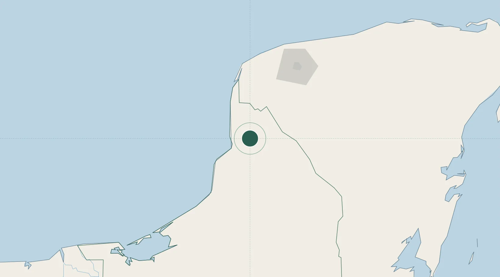
Location
Nearby Logistics Neighbours
Cities
- 1Seybaplaya66 km
- 2Hunucmá106 km
- 3Mérida121 km
- 4Tixkokob137 km
- 5Progreso148 km
Ports
- 1Campeche40 km
- 2Progreso149 km
- 3Cayo Arcas Terminal183 km
- 4Ciudad Del Carmen233 km
- 5Frontera305 km
Airports
Trade Zones
DatabookThe Record of Consolidated Knowledge
Mexico beyond logistics?