UN/LOCODE hub · Mexico
MXTPX

Santa Cruz Tepexpan

19.5667°, -99.7000°
3
Transport functions

Transport Functions

Port
Road
Multimodal
UN/LOCODE

Hub Profile

Region
MEX
GeoNames

Location

Location of MXTPX
Natural Earth 10m (public domain) · MEX · MXTPX · 19.57, -99.70GoogleOSMYandex

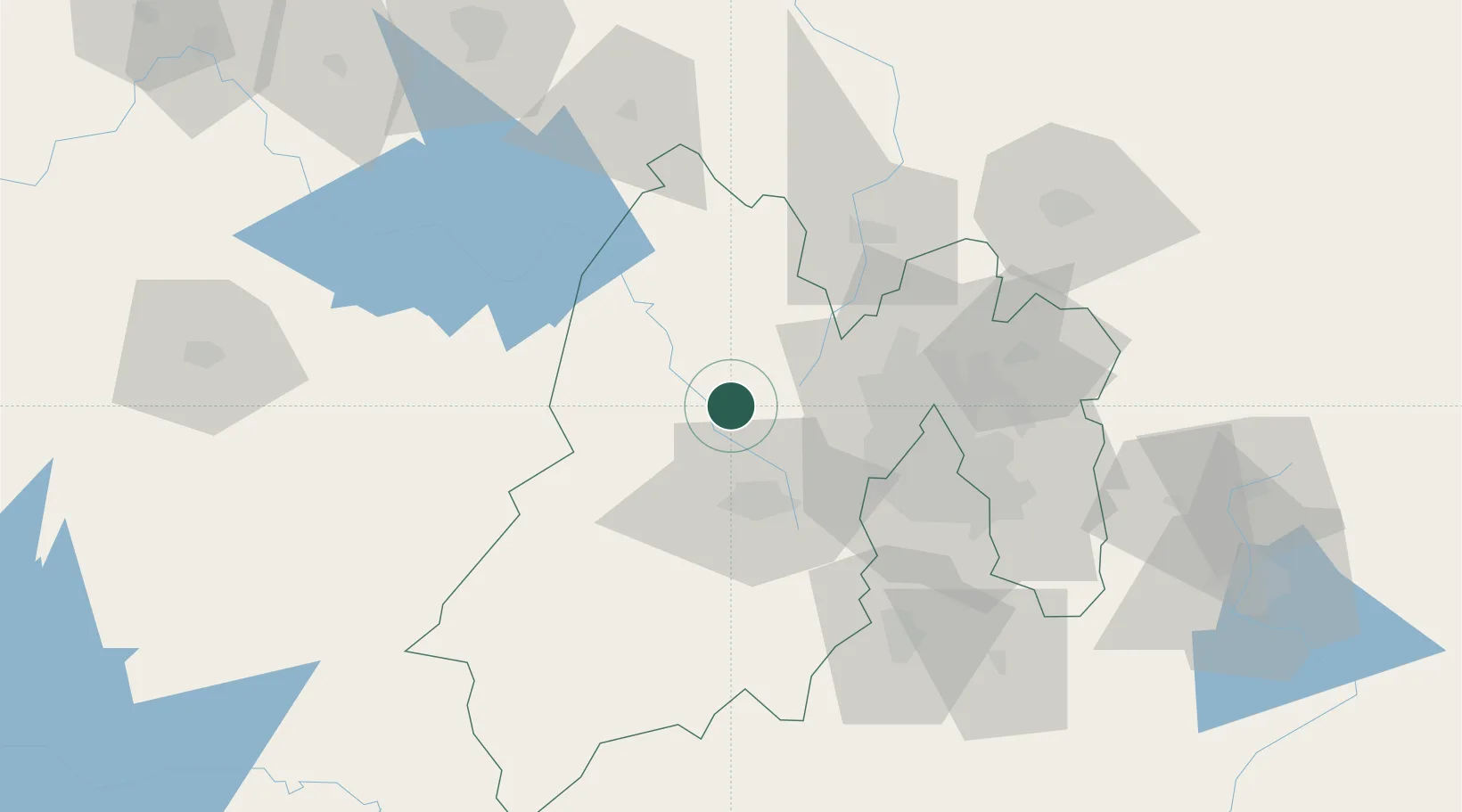
Nearby Logistics Neighbours

Cities
  1. 1Ixtlahuacan7 km
  2. 2Atlacomulco de Fabela31 km
  3. 3San Pedro Totoltepec33 km
  4. 4San Andres Timilpan34 km
  5. 5Zinacantepec34 km
Nearest neighbours — logibook spatial index (haversine) over the source coordinates
Ports
  1. 1Tuxpan285 km
  2. 2Acapulco303 km
  3. 3Lazaro Cardenas317 km
  4. 4Tampico351 km
  5. 5Veracruz376 km
Nearest neighbours — logibook spatial index (haversine) over the source coordinates
Airports
  1. 1Adolfo López Mateos International Airport29 km
  2. 2Helipuerto VZ Flights54 km
  3. 3Helipuerto El Universal60 km
  4. 4Mexico City Benito Juárez International Airport68 km
  5. 5Helipuerto Ciudad de México68 km
Nearest neighbours — logibook spatial index (haversine) over the source coordinates
Trade Zones
  1. 1The Special Economic Zone of Lázaro Cárdenas - La Unión318 km
  2. 2Special Economic Zone of Coatzacoalcos570 km
  3. 3Special Economic Zone of Salina Cruz604 km
  4. 4Zona Economica Especial de Tabasco690 km
  5. 5FTZ No. 012 McAllen747 km
Nearest neighbours — logibook spatial index (haversine) over the source coordinates
DatabookThe Record of Consolidated Knowledge
Mexico beyond logistics?
Browse databook

All Sources

LocationsUN/LOCODE
UN/LOCODE — free
Portsthe NGA World Port Index
Public domain (US gov)
AirportsOurAirports
Public domain
Trade Zonesthe World Bank SEZ database
CC BY 4.0
Trade ZonesOpen Zone Map
CC BY
← Mexico locations