Heliport · Mexico

Helipuerto Ciudad de MéxicoMX-2020

19.4323°, -99.0649°
7,000 ft
Elevation

Runway & Layout

Helipuerto Ciudad de México runway & taxiway layout
Runway & taxiway layout — OpenStreetMap (ODbL) / OurAirports

Airport Specifications

Airport class
Heliport
OurAirports
Scheduled service
Yes
OurAirports
Served city
Helipuerto de la Ciudad de México
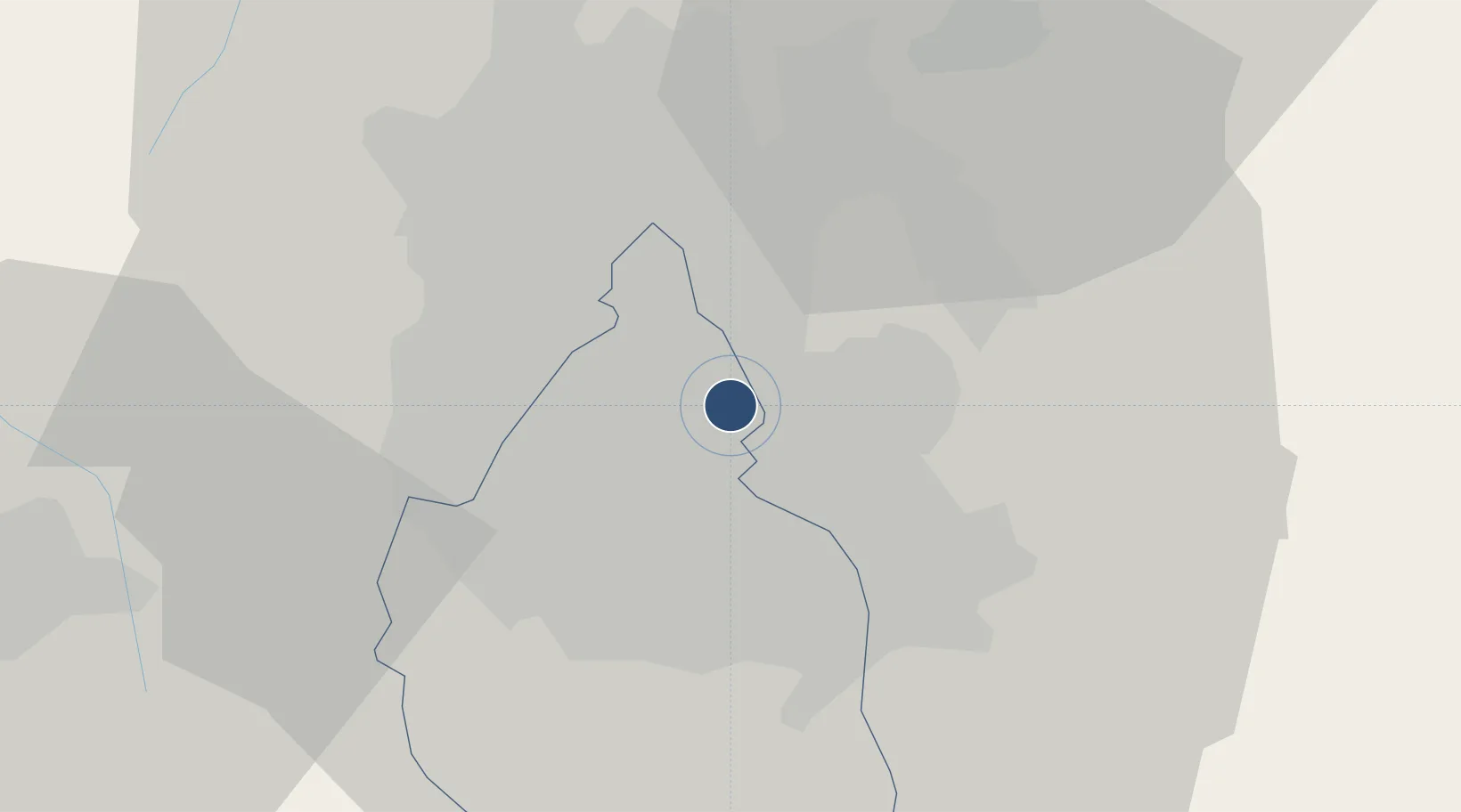
OurAirports

Location

Location of MX-2020
Natural Earth 10m (public domain) · Distrito Federal · MX-2020 · 19.43, -99.06GoogleOSMYandex

Nearby Logistics Neighbours

Cities
  1. 1Nezahualcóyotl4 km
  2. 2Iztacalco6 km
  3. 3Xalostoc10 km
  4. 4Santa Clara Coatitla11 km
  5. 5Azcapotzalco14 km
Nearest neighbours — logibook spatial index (haversine) over the source coordinates
Ports
  1. 1Tuxpan242 km
  2. 2Acapulco301 km
  3. 3Veracruz309 km
  4. 4Tampico334 km
  5. 5Altamira362 km
Nearest neighbours — logibook spatial index (haversine) over the source coordinates
Trade Zones
  1. 1The Special Economic Zone of Lázaro Cárdenas - La Unión368 km
  2. 2Special Economic Zone of Coatzacoalcos502 km
  3. 3Special Economic Zone of Salina Cruz544 km
  4. 4Zona Economica Especial de Tabasco622 km
  5. 5FTZ No. 062 Brownsville744 km
Nearest neighbours — logibook spatial index (haversine) over the source coordinates
DatabookThe Record of Consolidated Knowledge
Mexico beyond logistics?
Browse databook

All Sources

AirportsOurAirports
Public domain
Portsthe NGA World Port Index
Public domain (US gov)
LocationsUN/LOCODE
UN/LOCODE — free
Trade Zonesthe World Bank SEZ database
CC BY 4.0
Trade ZonesOpen Zone Map
CC BY
InfrastructureOpenStreetMap
ODbL 1.0
← Mexico airports