Transport Functions
Multimodal
Hub Profile
Place type
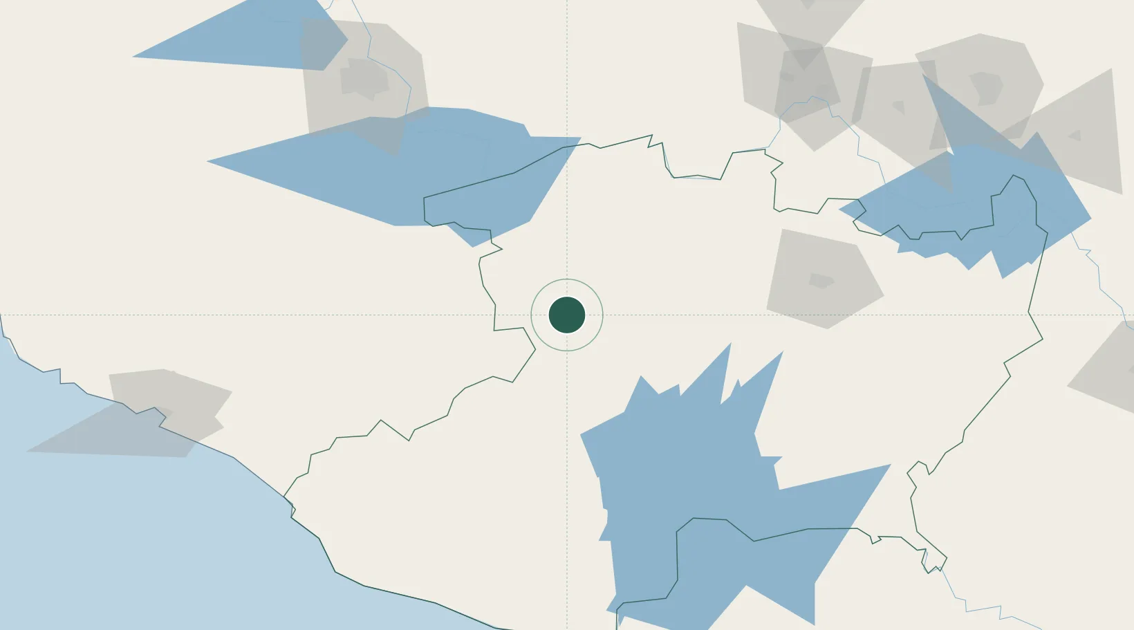
Populated place
Region
Michoacán
Time zone
America/Mexico_City
Elevation
1,538 m
Location
Nearby Logistics Neighbours
Cities
- 1Tingüindín23 km
- 2Uruapan del Progreso38 km
- 3Santiago Tangamandapio45 km
- 4Zamora50 km
- 5Jiquilpan de Juarez59 km
Ports
- 1Lazaro Cardenas181 km
- 2Manzanillo209 km
- 3Puerto Vallarta322 km
- 4Acapulco398 km
- 5Tuxpan544 km
Airports
Trade Zones
DatabookThe Record of Consolidated Knowledge
Mexico beyond logistics?