Transport Functions
Port
Multimodal
Hub Profile
Place type
Populated place
Region
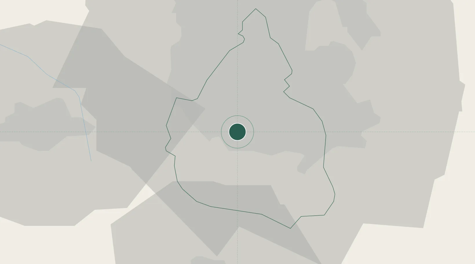
Mexico City
Population
574,577
Time zone
America/Mexico_City
Elevation
2,256 m
Location
Nearby Logistics Neighbours
Cities
- 1Iztacalco14 km
- 2Nezahualcóyotl20 km
- 3Huixquilucan de Degollado22 km
- 4Azcapotzalco25 km
- 5Xalostoc27 km
Ports
- 1Tuxpan262 km
- 2Acapulco282 km
- 3Veracruz319 km
- 4Lazaro Cardenas350 km
- 5Tampico353 km
Airports
DatabookThe Record of Consolidated Knowledge
Mexico beyond logistics?