Transport Functions
Multimodal
Hub Profile
Place type
Populated place
Region
Michoacán
Population
2,050
Time zone
America/Mexico_City
Elevation
2,080 m
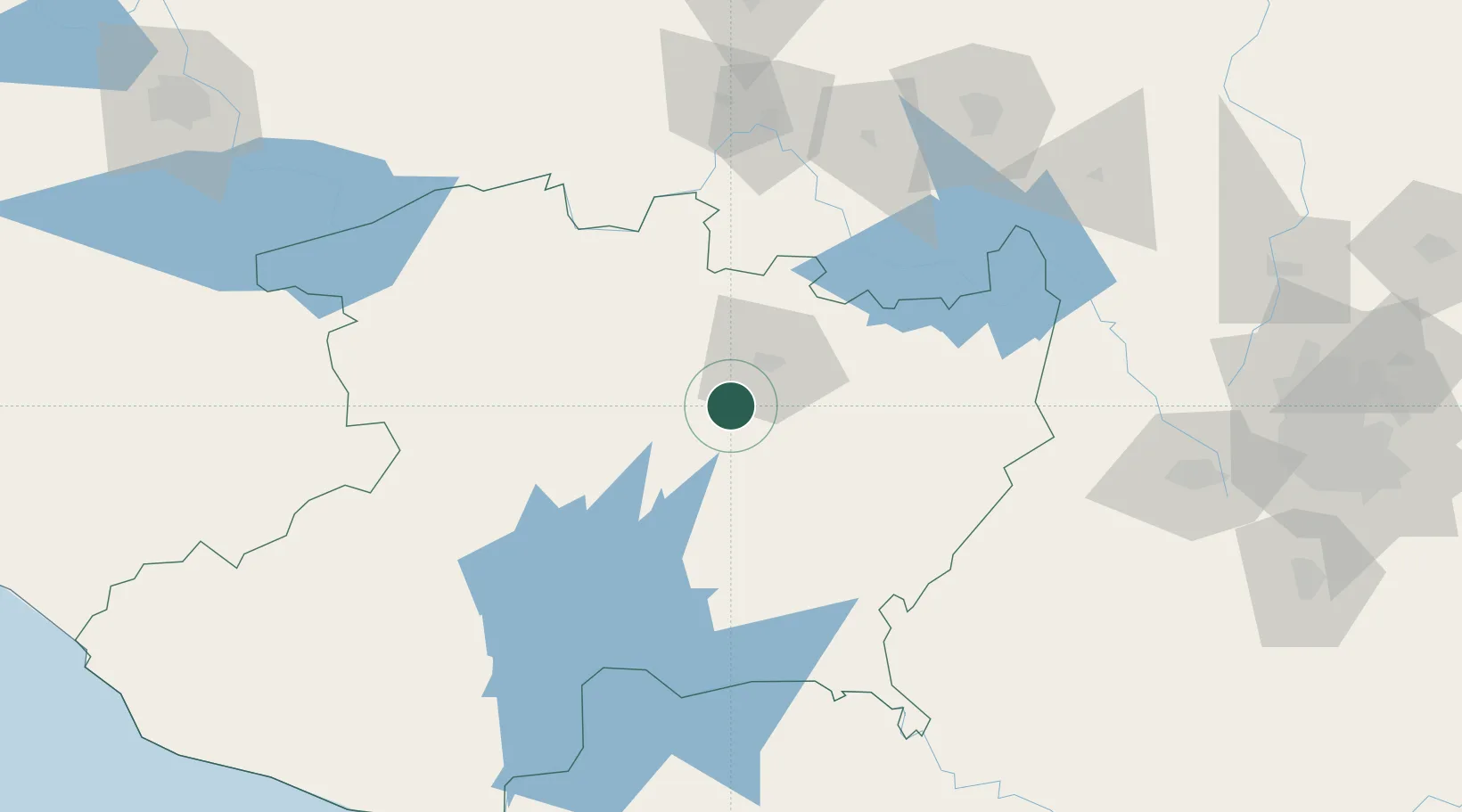
Location
Nearby Logistics Neighbours
Cities
- 1Zakapu56 km
- 2Moroleón66 km
- 3Uruapan del Progreso78 km
- 4Ciudad Hidalgo82 km
- 5Zamora109 km
Ports
- 1Lazaro Cardenas200 km
- 2Manzanillo318 km
- 3Acapulco335 km
- 4Puerto Vallarta428 km
- 5Tuxpan439 km
Airports
Trade Zones
DatabookThe Record of Consolidated Knowledge
Mexico beyond logistics?