UN/LOCODE hub · Mexico
MXZMF

Ciudad Hidalgo

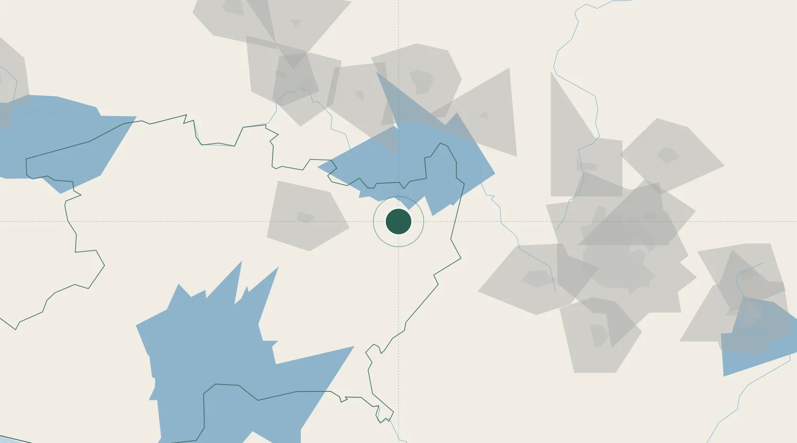
19.6833°, -100.5667°
60,542
Population
1
Transport functions

Transport Functions

Multimodal
UN/LOCODE

Hub Profile

Place type
Provincial seat
GeoNames
Region
Michoacán
GeoNames
Population
60,542
GeoNames
Time zone
America/Mexico_City
GeoNames
Elevation
2,027 m
GeoNames

Location

Location of MXZMF
Natural Earth 10m (public domain) · Michoacán · MXZMF · 19.68, -100.57GoogleOSMYandex

Nearby Logistics Neighbours

Cities
  1. 1Tlalpujahua de Rayón44 km
  2. 2Atlacomulco de Fabela74 km
  3. 3Tiripetío82 km
  4. 4Moroleón83 km
  5. 5Ixtlahuacan85 km
Nearest neighbours — logibook spatial index (haversine) over the source coordinates
Ports
  1. 1Lazaro Cardenas257 km
  2. 2Acapulco322 km
  3. 3Tuxpan359 km
  4. 4Tampico397 km
  5. 5Manzanillo400 km
Nearest neighbours — logibook spatial index (haversine) over the source coordinates
Airports
  1. 1General Francisco J. Mujica International Airport51 km
  2. 2Captain Rogelio Castillo National Airport102 km
  3. 3Querétaro Intercontinental Airport111 km
  4. 4Adolfo López Mateos International Airport112 km
  5. 5Helipuerto VZ Flights145 km
Nearest neighbours — logibook spatial index (haversine) over the source coordinates
Trade Zones
  1. 1The Special Economic Zone of Lázaro Cárdenas - La Unión258 km
  2. 2Special Economic Zone of Coatzacoalcos661 km
  3. 3Special Economic Zone of Salina Cruz686 km
  4. 4FTZ No. 012 McAllen757 km
  5. 5FTZ No. 156 Weslaco765 km
Nearest neighbours — logibook spatial index (haversine) over the source coordinates
DatabookThe Record of Consolidated Knowledge
Mexico beyond logistics?
Browse databook

All Sources

LocationsUN/LOCODE
UN/LOCODE — free
LocationsGeoNames
CC BY 4.0
Portsthe NGA World Port Index
Public domain (US gov)
AirportsOurAirports
Public domain
Trade Zonesthe World Bank SEZ database
CC BY 4.0
Trade ZonesOpen Zone Map
CC BY
← Mexico locations