Transport Functions
Rail
Road
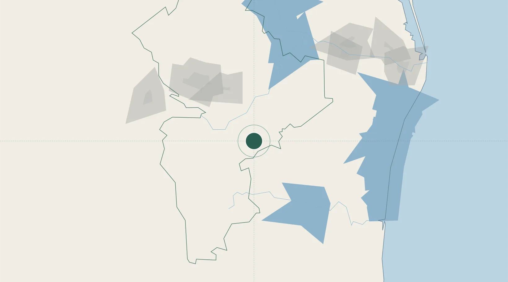
Hub Profile
Place type
Populated place
Region
Nuevo León
Population
37
Time zone
America/Monterrey
Elevation
931 m
Location
Nearby Logistics Neighbours
Cities
- 1Linares5 km
- 2General Terán45 km
- 3Cadereyta Jiménez93 km
- 4Barretal98 km
- 5Garza García123 km
Ports
- 1Brownsville245 km
- 2Port Isabel270 km
- 3Altamira317 km
- 4Tampico342 km
- 5Corpus Christi389 km
Airports
Trade Zones
- 1FTZ No. 095 Starr County181 km
- 2FTZ No. 012 McAllen190 km
- 3FTZ No. 156 Weslaco208 km
- 4FTZ No. 157 Casper208 km
- 5FTZ No. 062 Brownsville244 km
DatabookThe Record of Consolidated Knowledge
Mexico beyond logistics?