Transport Functions
Port
Multimodal
Hub Profile
Place type
Populated place
Region
Tamaulipas
Population
3,400
Time zone
America/Monterrey
Elevation
201 m
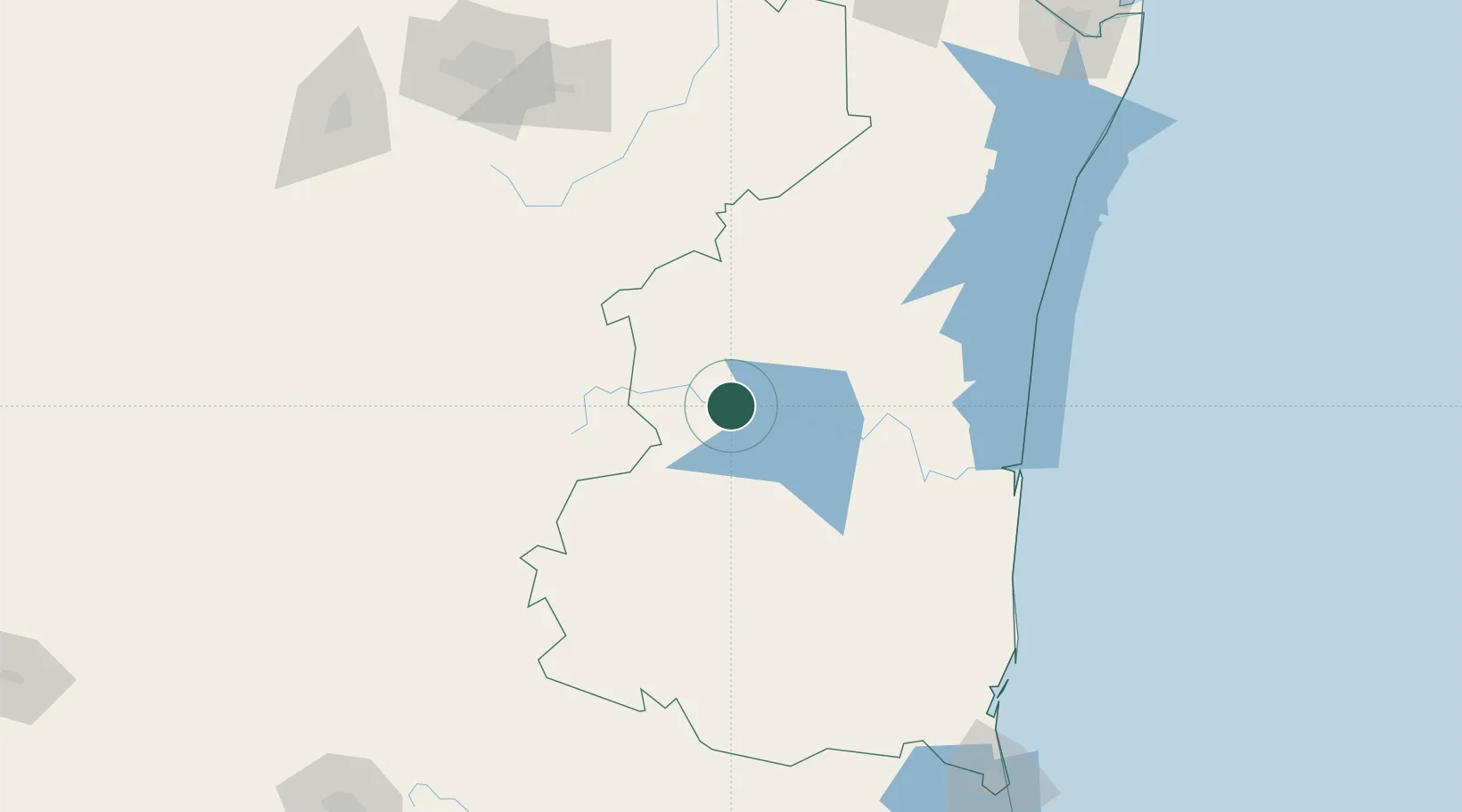
Location
Nearby Logistics Neighbours
Cities
- 1Linares97 km
- 2Lampazos98 km
- 3General Terán144 km
- 4Atizapán de Zaragoza151 km
- 5González154 km
Ports
- 1Altamira220 km
- 2Tampico244 km
- 3Brownsville270 km
- 4Port Isabel295 km
- 5Tuxpan391 km
Airports
Trade Zones
- 1FTZ No. 012 McAllen245 km
- 2FTZ No. 156 Weslaco256 km
- 3FTZ No. 157 Casper256 km
- 4FTZ No. 095 Starr County257 km
- 5FTZ No. 062 Brownsville270 km
DatabookThe Record of Consolidated Knowledge
Mexico beyond logistics?