Medium airport · Mexico
General Lucio Blanco International AirportMMRX
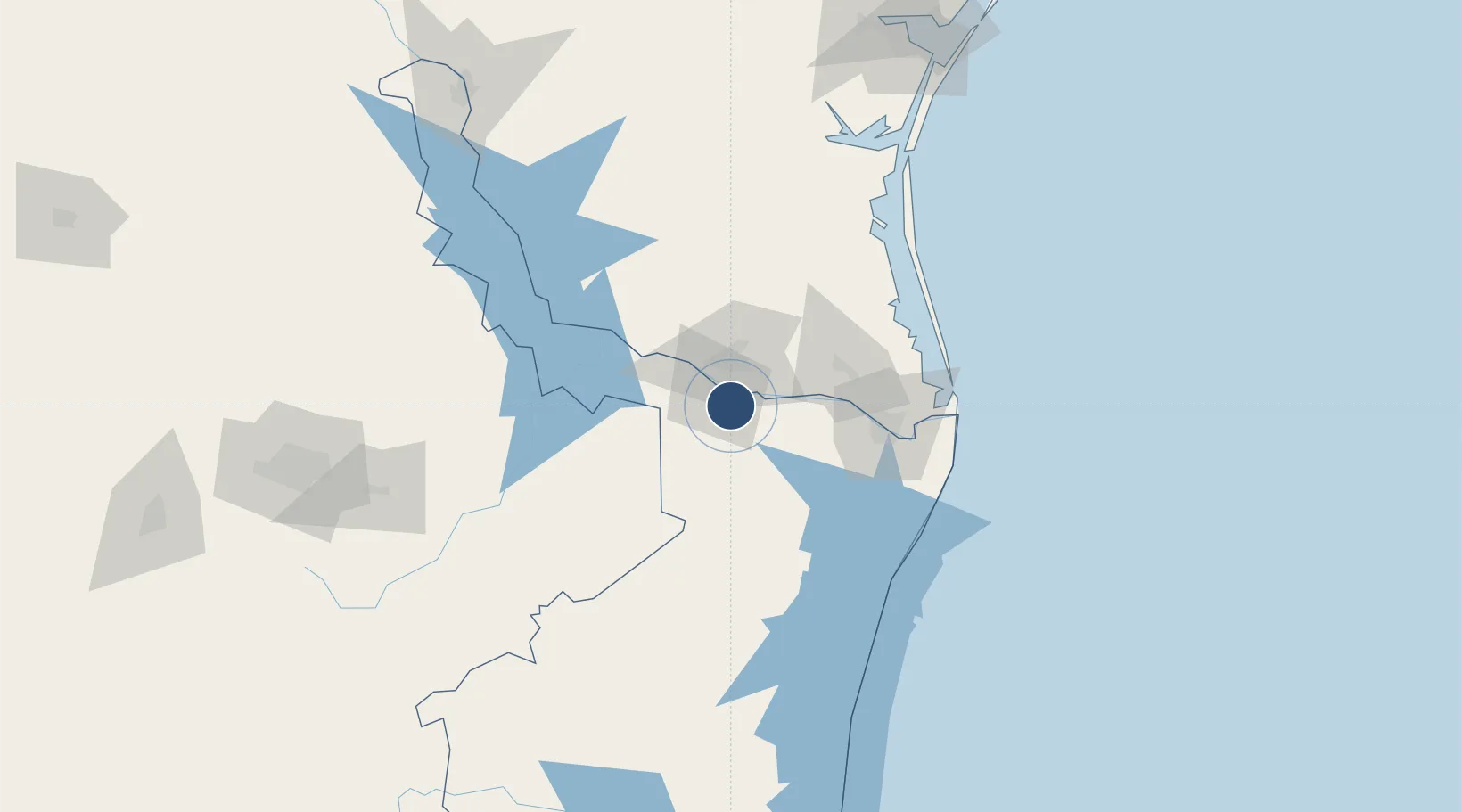
26.0089°, -98.2285°
6,243 ft
Longest runway
1
Runways
139 ft
Elevation
Runway & Layout

Radio Frequencies
APP
118.8 MHz
REYNOSA APP/TWR
Navaids
REX VOR-DME Reynosa 112.40 MHz
Runways · 1
| Runway | Dimensions | Surface | True heading | Lit |
|---|---|---|---|---|
| 13/31 | 6,243 × 148ft | Asphalt | 141° | ✓ |
Airport Specifications
IATA code
REX
ICAO code
MMRX
Airport class
Medium airport
Scheduled service
Yes
Runway surface
Asphalt
Served city
Reynosa
Location
Nearby Logistics Neighbours
Airports
Cities
- 1Hidalgo5 km
- 2Reynosa10 km
- 3Hidalgo14 km
- 4Ciudad Río Bravo15 km
- 5San Juan21 km
Ports
- 1Brownsville83 km
- 2Port Isabel103 km
- 3Corpus Christi217 km
- 4Port Ingleside226 km
- 5Port Aransas234 km
Trade Zones
- 1FTZ No. 012 McAllen16 km
- 2FTZ No. 156 Weslaco26 km
- 3FTZ No. 157 Casper26 km
- 4FTZ No. 095 Starr County72 km
- 5FTZ No. 062 Brownsville82 km
DatabookThe Record of Consolidated Knowledge
Mexico beyond logistics?