Transport Functions
Multimodal
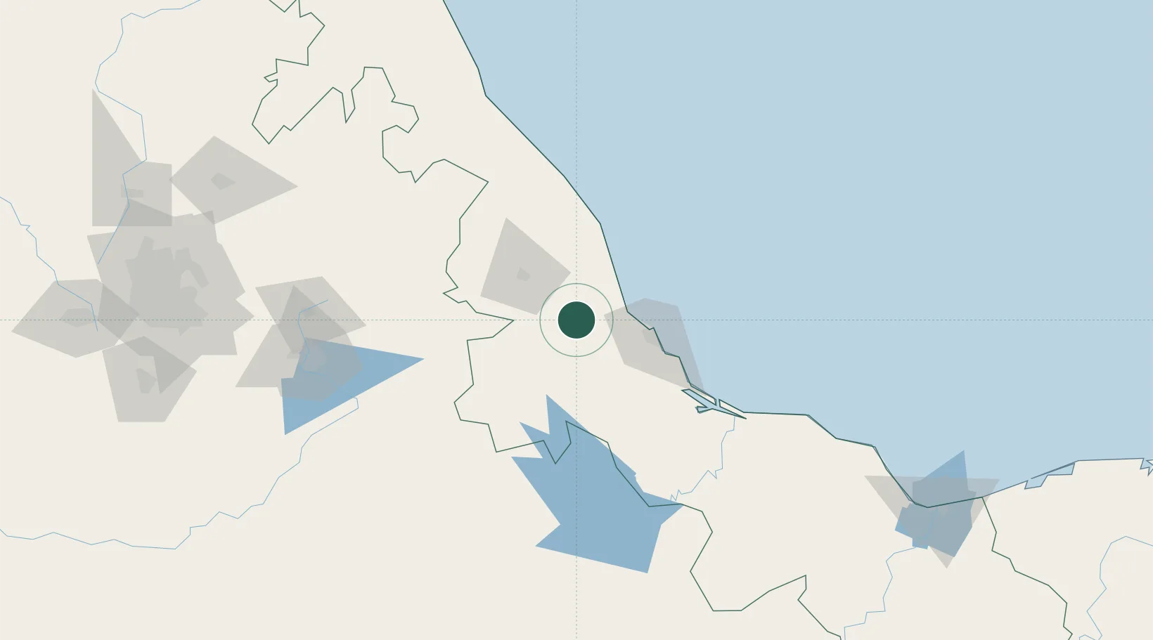
Hub Profile
Place type
Populated place
Region
Veracruz
Population
402
Time zone
America/Mexico_City
Elevation
169 m
Location
Nearby Logistics Neighbours
Cities
- 1Fortin de las Flores38 km
- 2Veracruz44 km
- 3Naolinco49 km
- 4Cuitláhuac53 km
- 5Acajete54 km
Ports
- 1Veracruz50 km
- 2Tuxpan203 km
- 3Coatzacoalcos262 km
- 4Minatitlan262 km
- 5Nanchital267 km
Airports
DatabookThe Record of Consolidated Knowledge
Mexico beyond logistics?