UN/LOCODE hub · Mexico
MXSGX

San Miguel Xoxtla

19.1833°, -98.3000°
11,269
Population
2
Transport functions

Transport Functions

Port
Multimodal
UN/LOCODE

Hub Profile

Place type
Populated place
GeoNames
Region
Puebla
GeoNames
Population
11,269
GeoNames
Time zone
America/Mexico_City
GeoNames
Elevation
2,203 m
GeoNames

Location

Location of MXSGX
Natural Earth 10m (public domain) · Puebla · MXSGX · 19.18, -98.30GoogleOSMYandex

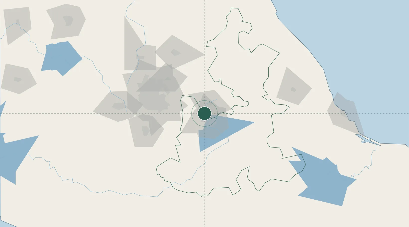
Nearby Logistics Neighbours

Cities
  1. 1Cuautlancingo12 km
  2. 2Santa Isabel Cholula22 km
  3. 3Tiaxcala23 km
  4. 4Ixtapaluca29 km
  5. 5Acajete38 km
Nearest neighbours — logibook spatial index (haversine) over the source coordinates
Ports
  1. 1Tuxpan218 km
  2. 2Veracruz228 km
  3. 3Acapulco312 km
  4. 4Tampico340 km
  5. 5Altamira370 km
Nearest neighbours — logibook spatial index (haversine) over the source coordinates
Trade Zones
  1. 1Special Economic Zone of Coatzacoalcos417 km
  2. 2The Special Economic Zone of Lázaro Cárdenas - La Unión432 km
  3. 3Special Economic Zone of Salina Cruz466 km
  4. 4Zona Economica Especial de Tabasco538 km
  5. 5FTZ No. 062 Brownsville758 km
Nearest neighbours — logibook spatial index (haversine) over the source coordinates
DatabookThe Record of Consolidated Knowledge
Mexico beyond logistics?
Browse databook

All Sources

LocationsUN/LOCODE
UN/LOCODE — free
LocationsGeoNames
CC BY 4.0
Portsthe NGA World Port Index
Public domain (US gov)
AirportsOurAirports
Public domain
Trade Zonesthe World Bank SEZ database
CC BY 4.0
Trade ZonesOpen Zone Map
CC BY
← Mexico locations