UN/LOCODE hub · Mexico
MXCUH

Cuautinchan

18.9333°, -98.0167°
2,454
Population
1
Transport functions

Transport Functions

Multimodal
UN/LOCODE

Hub Profile

Place type
Populated place
GeoNames
Region
Puebla
GeoNames
Population
2,454
GeoNames
Time zone
America/Mexico_City
GeoNames
Elevation
2,156 m
GeoNames

Location

Location of MXCUH
Natural Earth 10m (public domain) · Puebla · MXCUH · 18.93, -98.02GoogleOSMYandex

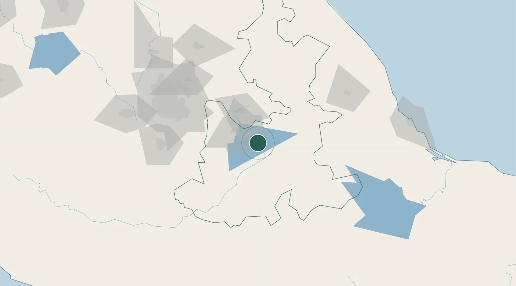
Nearby Logistics Neighbours

Cities
  1. 1Acajete20 km
  2. 2Tepeyahualco20 km
  3. 3Acatzingo27 km
  4. 4Tecamachalco30 km
  5. 5Cuautlancingo31 km
Nearest neighbours — logibook spatial index (haversine) over the source coordinates
Ports
  1. 1Veracruz200 km
  2. 2Tuxpan233 km
  3. 3Acapulco308 km
  4. 4Tampico365 km
  5. 5Minatitlan380 km
Nearest neighbours — logibook spatial index (haversine) over the source coordinates
Airports
  1. 1Hermanos Serdán International Airport45 km
  2. 2Helipuerto Ciudad de México123 km
  3. 3Mexico City Benito Juárez International Airport124 km
  4. 4Helipuerto El Universal131 km
  5. 5General Mariano Matamoros International Airport132 km
Nearest neighbours — logibook spatial index (haversine) over the source coordinates
DatabookThe Record of Consolidated Knowledge
Mexico beyond logistics?
Browse databook

All Sources

LocationsUN/LOCODE
UN/LOCODE — free
LocationsGeoNames
CC BY 4.0
Portsthe NGA World Port Index
Public domain (US gov)
AirportsOurAirports
Public domain
Trade Zonesthe World Bank SEZ database
CC BY 4.0
Trade ZonesOpen Zone Map
CC BY
← Mexico locations