UN/LOCODE hub · Mexico
MXJCZ

Acatzingo

18.9667°, -97.7667°
25,811
Population
1
Transport functions

Transport Functions

Multimodal
UN/LOCODE

Hub Profile

Place type
Provincial seat
GeoNames
Region
Puebla
GeoNames
Population
25,811
GeoNames
Time zone
America/Mexico_City
GeoNames
Elevation
2,148 m
GeoNames

Location

Location of MXJCZ
Natural Earth 10m (public domain) · Puebla · MXJCZ · 18.97, -97.77GoogleOSMYandex

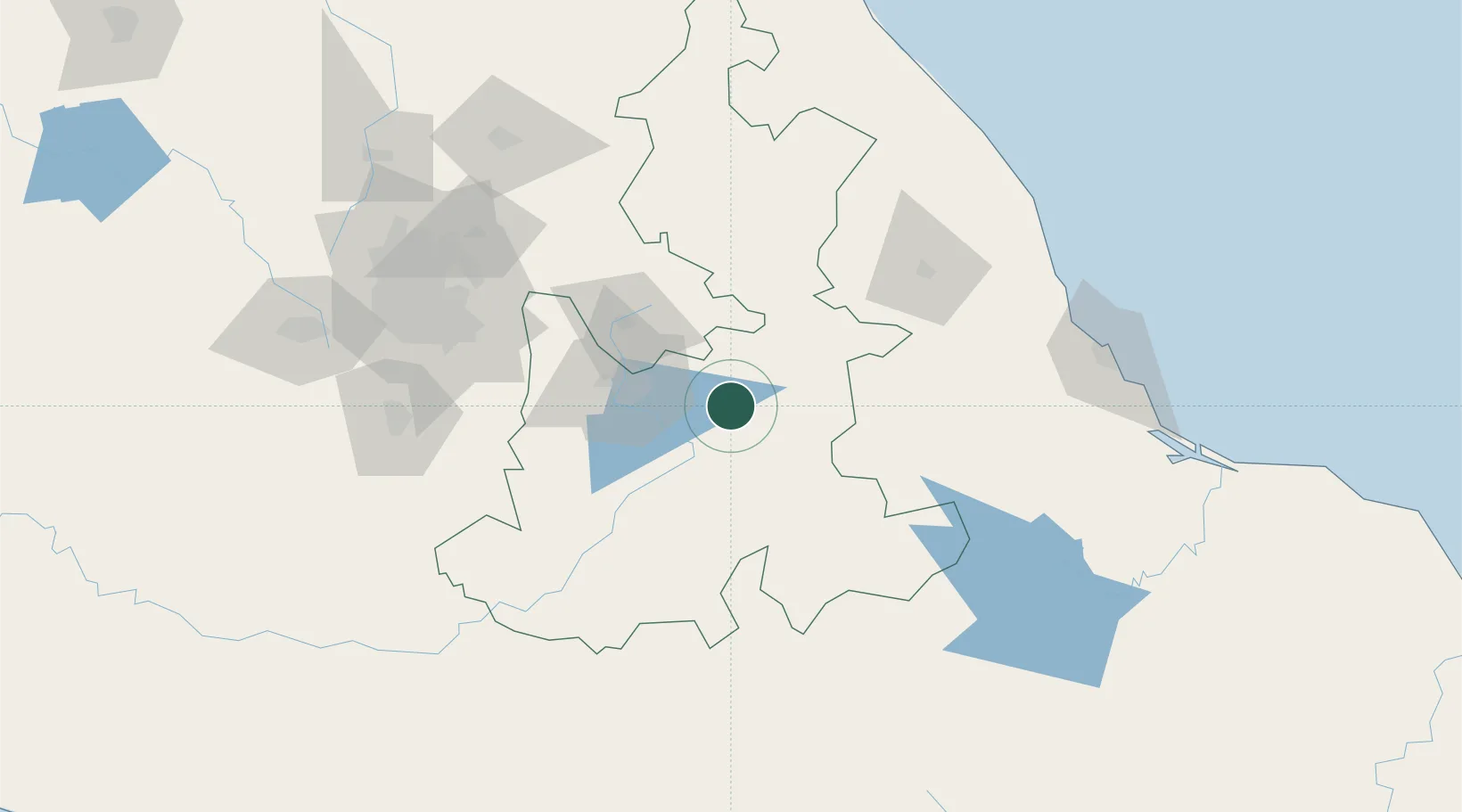
Nearby Logistics Neighbours

Cities
  1. 1Tecamachalco10 km
  2. 2Tepeyahualco22 km
  3. 3Acajete24 km
  4. 4Cuautinchan27 km
  5. 5Tepetlalco39 km
Nearest neighbours — logibook spatial index (haversine) over the source coordinates
Ports
  1. 1Veracruz174 km
  2. 2Tuxpan224 km
  3. 3Acapulco329 km
  4. 4Minatitlan356 km
  5. 5Tampico362 km
Nearest neighbours — logibook spatial index (haversine) over the source coordinates
DatabookThe Record of Consolidated Knowledge
Mexico beyond logistics?
Browse databook

All Sources

LocationsUN/LOCODE
UN/LOCODE — free
LocationsGeoNames
CC BY 4.0
Portsthe NGA World Port Index
Public domain (US gov)
AirportsOurAirports
Public domain
Trade Zonesthe World Bank SEZ database
CC BY 4.0
Trade ZonesOpen Zone Map
CC BY
← Mexico locations