UN/LOCODE hub · Mexico
MXACE

Acajete

19.1000°, -97.9500°
20,923
Population
1
Transport functions

Transport Functions

Multimodal
UN/LOCODE

Hub Profile

Place type
Provincial seat
GeoNames
Region
Puebla
GeoNames
Population
20,923
GeoNames
Time zone
America/Mexico_City
GeoNames
Elevation
2,468 m
GeoNames

Location

Location of MXACE
Natural Earth 10m (public domain) · Puebla · MXACE · 19.10, -97.95GoogleOSMYandex

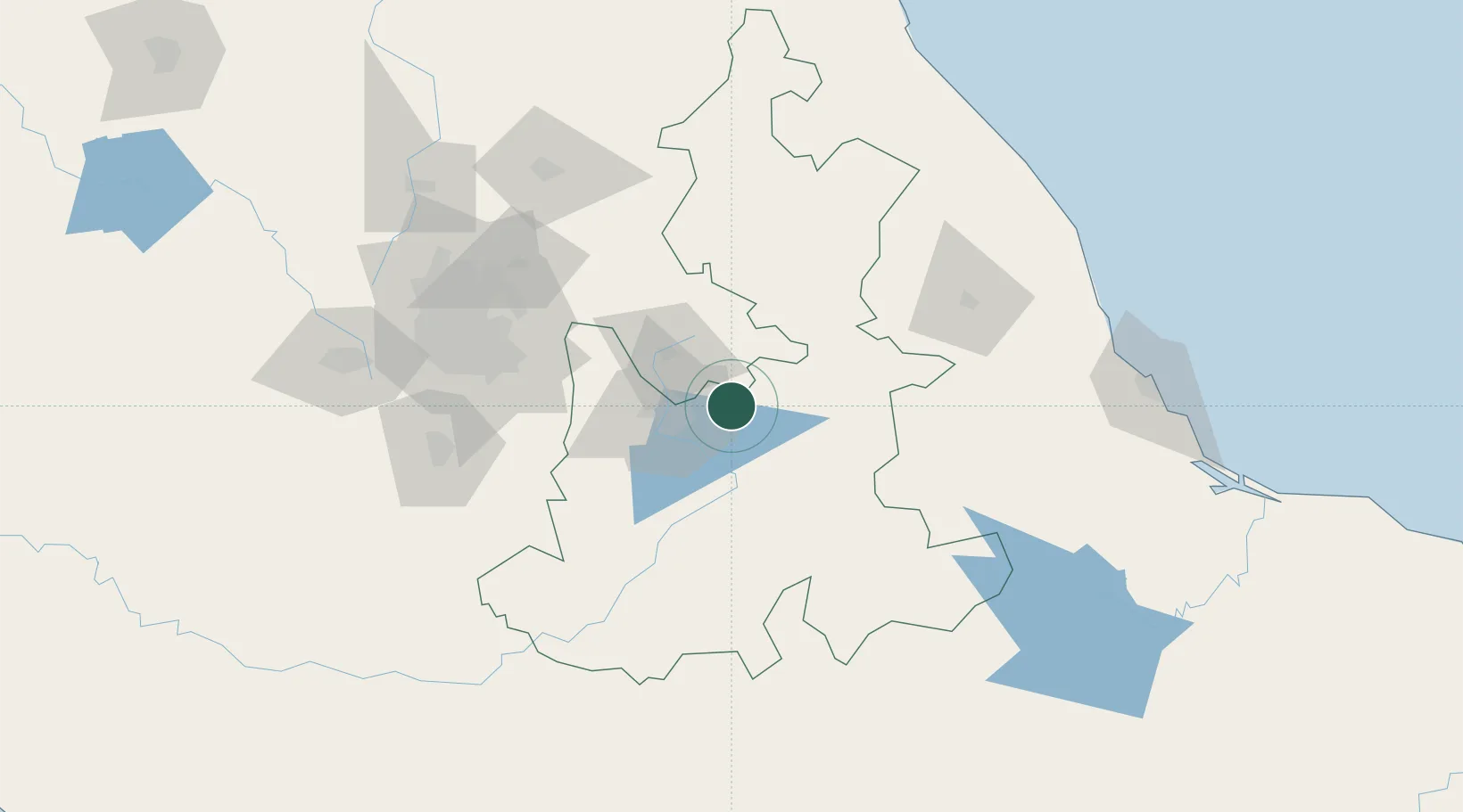
Nearby Logistics Neighbours

Cities
  1. 1Cuautinchan20 km
  2. 2Huamantla24 km
  3. 3Acatzingo24 km
  4. 4Tecamachalco33 km
  5. 5Cuautlancingo33 km
Nearest neighbours — logibook spatial index (haversine) over the source coordinates
Ports
  1. 1Veracruz191 km
  2. 2Tuxpan214 km
  3. 3Acapulco327 km
  4. 4Tampico347 km
  5. 5Altamira376 km
Nearest neighbours — logibook spatial index (haversine) over the source coordinates
Trade Zones
  1. 1Special Economic Zone of Coatzacoalcos379 km
  2. 2Special Economic Zone of Salina Cruz434 km
  3. 3The Special Economic Zone of Lázaro Cárdenas - La Unión464 km
  4. 4Zona Economica Especial de Tabasco500 km
  5. 5FTZ No. 062 Brownsville764 km
Nearest neighbours — logibook spatial index (haversine) over the source coordinates
DatabookThe Record of Consolidated Knowledge
Mexico beyond logistics?
Browse databook

All Sources

LocationsUN/LOCODE
UN/LOCODE — free
LocationsGeoNames
CC BY 4.0
Portsthe NGA World Port Index
Public domain (US gov)
AirportsOurAirports
Public domain
Trade Zonesthe World Bank SEZ database
CC BY 4.0
Trade ZonesOpen Zone Map
CC BY
← Mexico locations