Transport Functions
Port
Multimodal
Hub Profile
Region
TLA
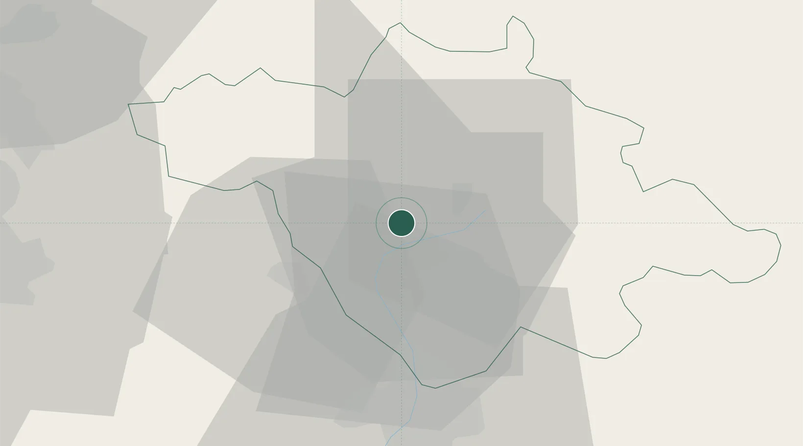
Location
Nearby Logistics Neighbours
Cities
- 1San Miguel Xoxtla23 km
- 2Ixtapaluca33 km
- 3Cuautlancingo33 km
- 4Huamantla34 km
- 5Santa Isabel Cholula44 km
Airports
DatabookThe Record of Consolidated Knowledge
Mexico beyond logistics?