UN/LOCODE hub · Mexico
MXCPL

Chapala

20.3000°, -103.2000°
21,596
Population
1
Transport functions

Transport Functions

Multimodal
UN/LOCODE

Hub Profile

Place type
Provincial seat
GeoNames
Region
Jalisco
GeoNames
Population
21,596
GeoNames
Time zone
America/Mexico_City
GeoNames
Elevation
1,561 m
GeoNames

Location

Location of MXCPL
Natural Earth 10m (public domain) · Jalisco · MXCPL · 20.30, -103.20GoogleOSMYandex

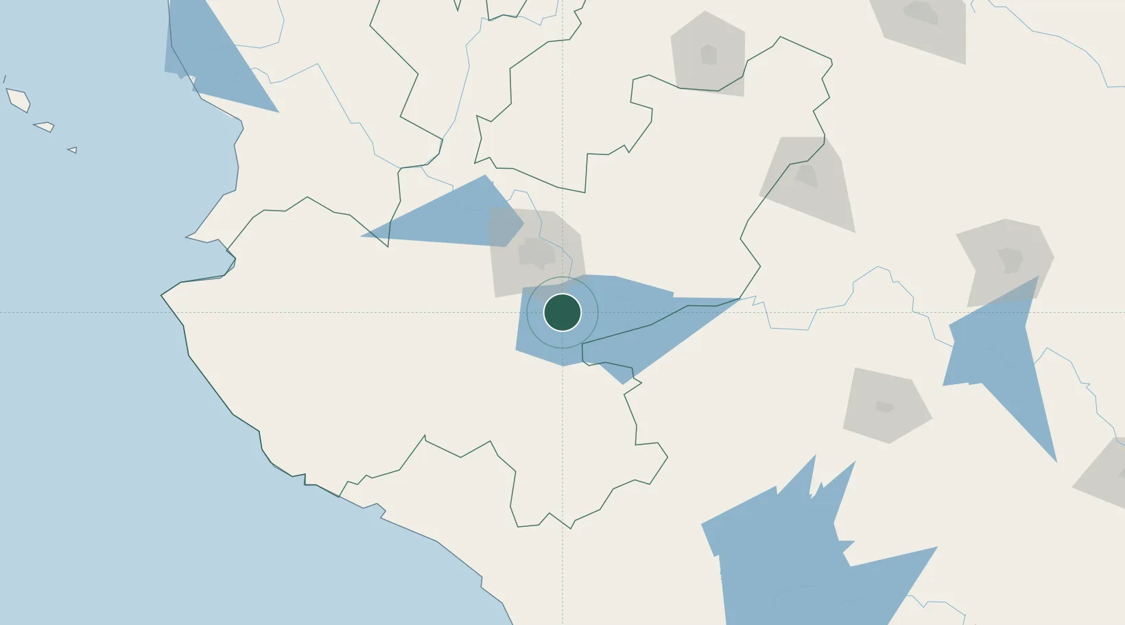
Nearby Logistics Neighbours

Cities
  1. 1Ixtlahuacan de los Membrillos6 km
  2. 2Atotonilquillo13 km
  3. 3Atequiza13 km
  4. 4Santa Cruz de las Flores29 km
  5. 5Zapotlan del Rey34 km
Nearest neighbours — logibook spatial index (haversine) over the source coordinates
Ports
  1. 1Manzanillo182 km
  2. 2Puerto Vallarta218 km
  3. 3Lazaro Cardenas285 km
  4. 4Mazatlan463 km
  5. 5Acapulco515 km
Nearest neighbours — logibook spatial index (haversine) over the source coordinates
Trade Zones
  1. 1The Special Economic Zone of Lázaro Cárdenas - La Unión285 km
  2. 2FTZ No. 095 Starr County810 km
  3. 3FTZ No. 012 McAllen823 km
  4. 4FTZ No. 156 Weslaco839 km
  5. 5FTZ No. 157 Casper839 km
Nearest neighbours — logibook spatial index (haversine) over the source coordinates
DatabookThe Record of Consolidated Knowledge
Mexico beyond logistics?
Browse databook

All Sources

LocationsUN/LOCODE
UN/LOCODE — free
LocationsGeoNames
CC BY 4.0
Portsthe NGA World Port Index
Public domain (US gov)
AirportsOurAirports
Public domain
Trade Zonesthe World Bank SEZ database
CC BY 4.0
Trade ZonesOpen Zone Map
CC BY
← Mexico locations