UN/LOCODE hub · Mexico
MXJLM
Ixtlahuacan de los Membrillos
20.3500°, -103.1833°
6,137
Population
1
Transport functions
Transport Functions
Multimodal
Hub Profile
Place type
Provincial seat
Region
Jalisco
Population
6,137
Time zone
America/Mexico_City
Elevation
1,634 m
Location
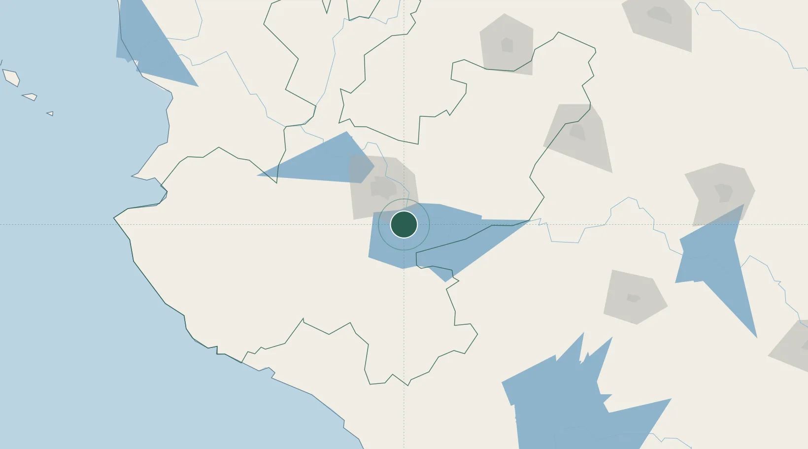
Nearby Logistics Neighbours
Cities
- 1Chapala6 km
- 2Atotonilquillo8 km
- 3Atequiza8 km
- 4Santa Cruz de las Flores25 km
- 5Zapotlan del Rey30 km
Ports
- 1Manzanillo187 km
- 2Puerto Vallarta219 km
- 3Lazaro Cardenas289 km
- 4Mazatlan460 km
- 5Acapulco518 km
Airports
Trade Zones
- 1The Special Economic Zone of Lázaro Cárdenas - La Unión290 km
- 2FTZ No. 095 Starr County805 km
- 3FTZ No. 012 McAllen817 km
- 4FTZ No. 156 Weslaco833 km
- 5FTZ No. 157 Casper833 km
DatabookThe Record of Consolidated Knowledge
Mexico beyond logistics?