UN/LOCODE hub · Mexico
MXAQL
Atotonilquillo
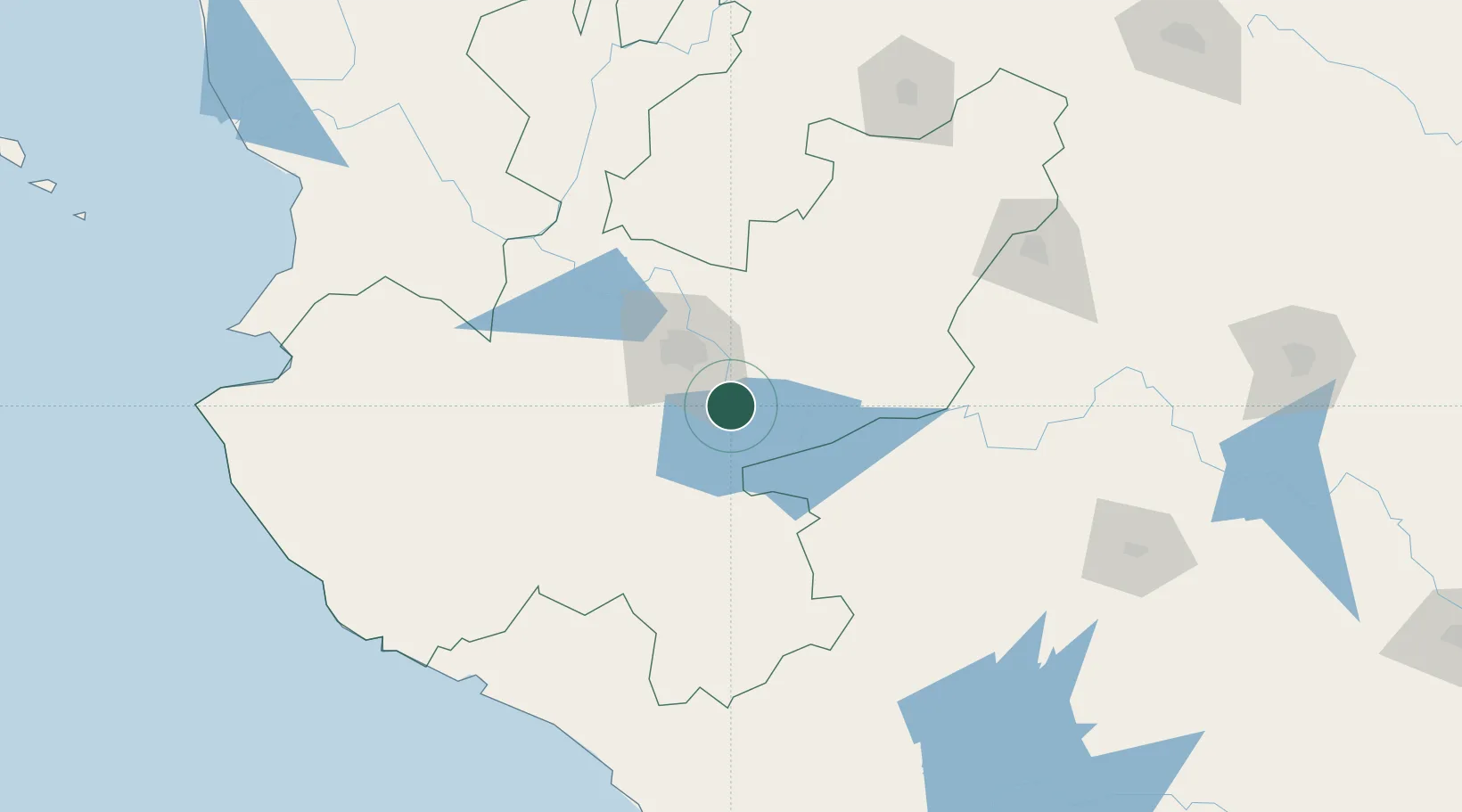
20.4000°, -103.1333°
7,249
Population
2
Transport functions
Transport Functions
Rail
Road
Hub Profile
Place type
Populated place
Region
Jalisco
Population
7,249
Time zone
America/Mexico_City
Elevation
1,528 m
Location
Nearby Logistics Neighbours
Cities
- 1Atequiza0 km
- 2Ixtlahuacan de los Membrillos8 km
- 3Chapala13 km
- 4Zapotlan del Rey23 km
- 5Santa Cruz de las Flores24 km
Ports
- 1Manzanillo195 km
- 2Puerto Vallarta224 km
- 3Lazaro Cardenas293 km
- 4Mazatlan460 km
- 5Acapulco519 km
Airports
Trade Zones
- 1The Special Economic Zone of Lázaro Cárdenas - La Unión293 km
- 2FTZ No. 095 Starr County797 km
- 3FTZ No. 012 McAllen810 km
- 4FTZ No. 156 Weslaco826 km
- 5FTZ No. 157 Casper826 km
DatabookThe Record of Consolidated Knowledge
Mexico beyond logistics?