Transport Functions
Rail
Road
Hub Profile
Place type
Provincial seat
Region
Puebla
Population
28,679
Time zone
America/Mexico_City
Elevation
2,020 m
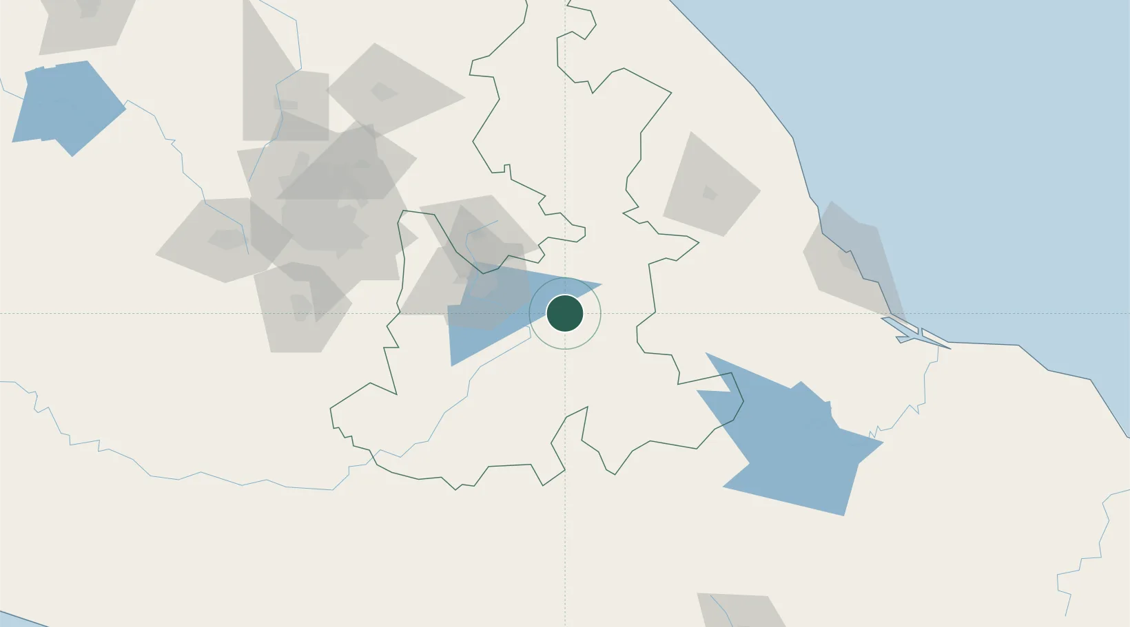
Location
Nearby Logistics Neighbours
Cities
- 1Acatzingo10 km
- 2Tepeyahualco18 km
- 3Tepetlalco29 km
- 4Cuautinchan30 km
- 5Acajete33 km
Ports
- 1Veracruz172 km
- 2Tuxpan232 km
- 3Acapulco325 km
- 4Minatitlan350 km
- 5Coatzacoalcos359 km
Airports
DatabookThe Record of Consolidated Knowledge
Mexico beyond logistics?