Transport Functions
Rail
Road
Multimodal
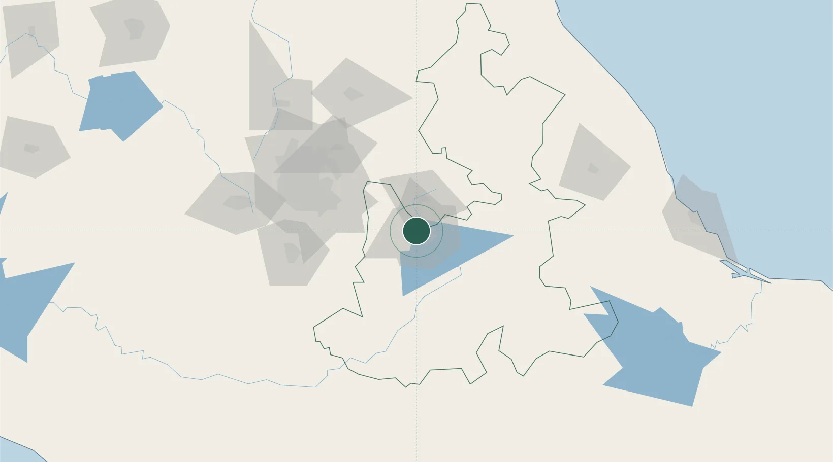
Hub Profile
Place type
Provincial seat
Region
Puebla
Population
25,104
Time zone
America/Mexico_City
Elevation
2,160 m
Location
Nearby Logistics Neighbours
Cities
- 1San Miguel Xoxtla12 km
- 2Santa Isabel Cholula14 km
- 3Cuautinchan31 km
- 4Acajete33 km
- 5Tiaxcala33 km
Airports
DatabookThe Record of Consolidated Knowledge
Mexico beyond logistics?