Transport Functions
Port
Multimodal
Hub Profile
Region
MEX
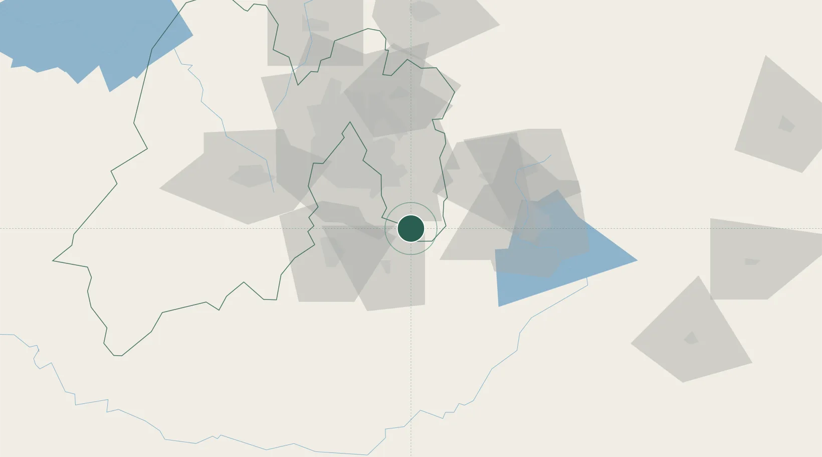
Location
Nearby Logistics Neighbours
Cities
- 1Chalco27 km
- 2Ayala36 km
- 3Ixtapaluca40 km
- 4Xochimancas41 km
- 5Ahuatepec43 km
Ports
- 1Tuxpan260 km
- 2Acapulco270 km
- 3Veracruz283 km
- 4Tampico368 km
- 5Lazaro Cardenas374 km
Airports
DatabookThe Record of Consolidated Knowledge
Mexico beyond logistics?