UN/LOCODE hub · Mexico
MXZMB

Chalco

19.2667°, -98.9000°
168,720
Population
1
Transport functions

Transport Functions

Multimodal
UN/LOCODE

Hub Profile

Place type
Provincial seat
GeoNames
Region
México
GeoNames
Population
168,720
GeoNames
Time zone
America/Mexico_City
GeoNames
Elevation
2,245 m
GeoNames

Location

Location of MXZMB
Natural Earth 10m (public domain) · México · MXZMB · 19.27, -98.90GoogleOSMYandex

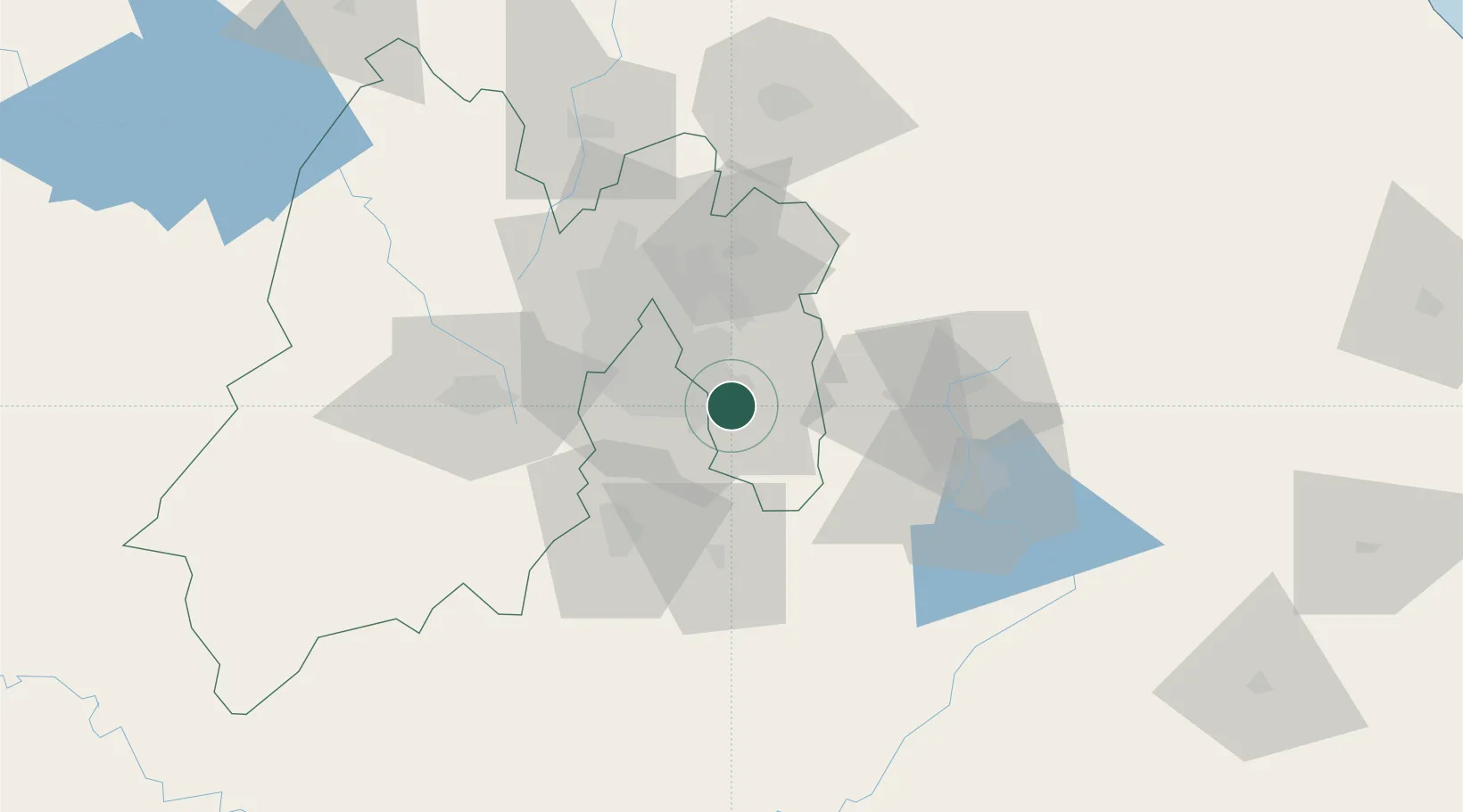
Nearby Logistics Neighbours

Cities
  1. 1Nezahualcóyotl22 km
  2. 2Iztacalco23 km
  3. 3Tepetlixpac27 km
  4. 4Tlalpan28 km
  5. 5Chiconcuac32 km
Nearest neighbours — logibook spatial index (haversine) over the source coordinates
Ports
  1. 1Tuxpan244 km
  2. 2Acapulco290 km
  3. 3Veracruz291 km
  4. 4Tampico345 km
  5. 5Altamira374 km
Nearest neighbours — logibook spatial index (haversine) over the source coordinates
Trade Zones
  1. 1The Special Economic Zone of Lázaro Cárdenas - La Unión376 km
  2. 2Special Economic Zone of Coatzacoalcos480 km
  3. 3Special Economic Zone of Salina Cruz519 km
  4. 4Zona Economica Especial de Tabasco602 km
  5. 5FTZ No. 062 Brownsville759 km
Nearest neighbours — logibook spatial index (haversine) over the source coordinates
DatabookThe Record of Consolidated Knowledge
Mexico beyond logistics?
Browse databook

All Sources

LocationsUN/LOCODE
UN/LOCODE — free
LocationsGeoNames
CC BY 4.0
Portsthe NGA World Port Index
Public domain (US gov)
AirportsOurAirports
Public domain
Trade Zonesthe World Bank SEZ database
CC BY 4.0
Trade ZonesOpen Zone Map
CC BY
← Mexico locations