UN/LOCODE hub · Mexico
MXZIP

Ixtapaluca

19.2833°, -98.5500°
322,271
Population
3
Transport functions

Transport Functions

Port
Road
Multimodal
UN/LOCODE

Hub Profile

Place type
Provincial seat
GeoNames
Region
México
GeoNames
Population
322,271
GeoNames
Time zone
America/Mexico_City
GeoNames
Elevation
2,253 m
GeoNames

Location

Location of MXZIP
Natural Earth 10m (public domain) · México · MXZIP · 19.28, -98.55GoogleOSMYandex

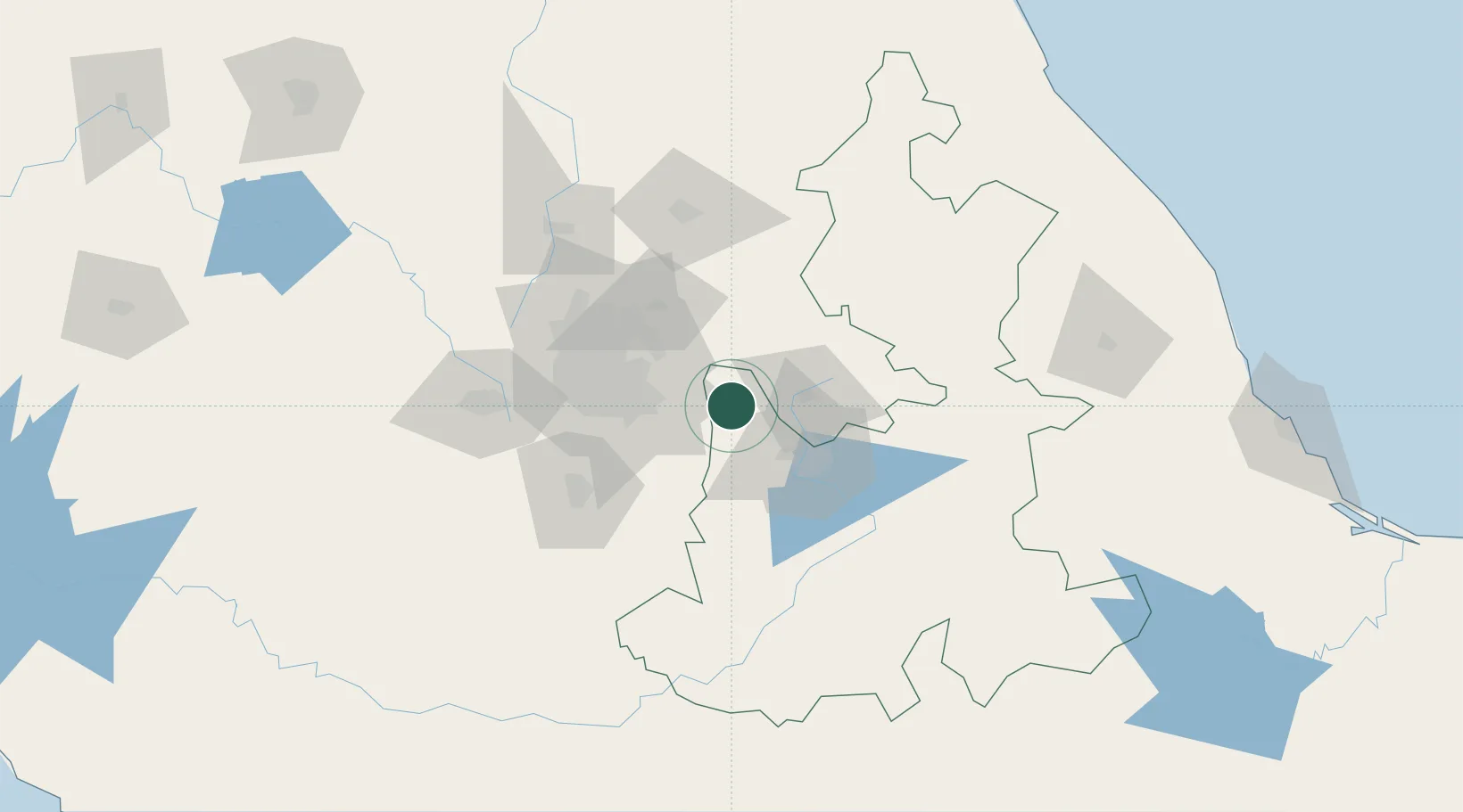
Nearby Logistics Neighbours

Cities
  1. 1San Miguel Xoxtla29 km
  2. 2Tiaxcala33 km
  3. 3Chalco37 km
  4. 4Santa Isabel Cholula37 km
  5. 5Cuautlancingo37 km
Nearest neighbours — logibook spatial index (haversine) over the source coordinates
Ports
  1. 1Tuxpan221 km
  2. 2Veracruz254 km
  3. 3Acapulco308 km
  4. 4Tampico334 km
  5. 5Altamira363 km
Nearest neighbours — logibook spatial index (haversine) over the source coordinates
Trade Zones
  1. 1The Special Economic Zone of Lázaro Cárdenas - La Unión411 km
  2. 2Special Economic Zone of Coatzacoalcos446 km
  3. 3Special Economic Zone of Salina Cruz493 km
  4. 4Zona Economica Especial de Tabasco566 km
  5. 5FTZ No. 062 Brownsville751 km
Nearest neighbours — logibook spatial index (haversine) over the source coordinates
DatabookThe Record of Consolidated Knowledge
Mexico beyond logistics?
Browse databook

All Sources

LocationsUN/LOCODE
UN/LOCODE — free
LocationsGeoNames
CC BY 4.0
Portsthe NGA World Port Index
Public domain (US gov)
AirportsOurAirports
Public domain
Trade Zonesthe World Bank SEZ database
CC BY 4.0
Trade ZonesOpen Zone Map
CC BY
← Mexico locations