Transport Functions
Port
Road
Hub Profile
Place type
Populated place
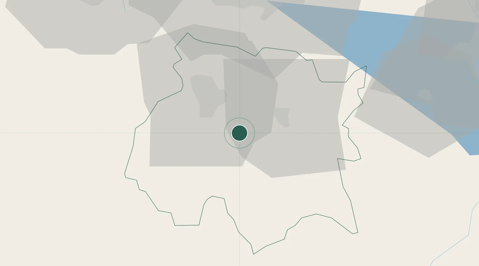
Region
Morelos
Population
1
Time zone
America/Mexico_City
Elevation
992 m
Location
Nearby Logistics Neighbours
Cities
- 1Ayala13 km
- 2Xochitepec14 km
- 3Jojutla22 km
- 4Ahuatepec22 km
- 5Miacatlan28 km
Ports
- 1Acapulco232 km
- 2Tuxpan299 km
- 3Veracruz315 km
- 4Lazaro Cardenas337 km
- 5Tampico403 km
Airports
DatabookThe Record of Consolidated Knowledge
Mexico beyond logistics?