Transport Functions
Multimodal
Hub Profile
Place type
Urban district
Region
Morelos
Time zone
America/Mexico_City
Elevation
1,788 m
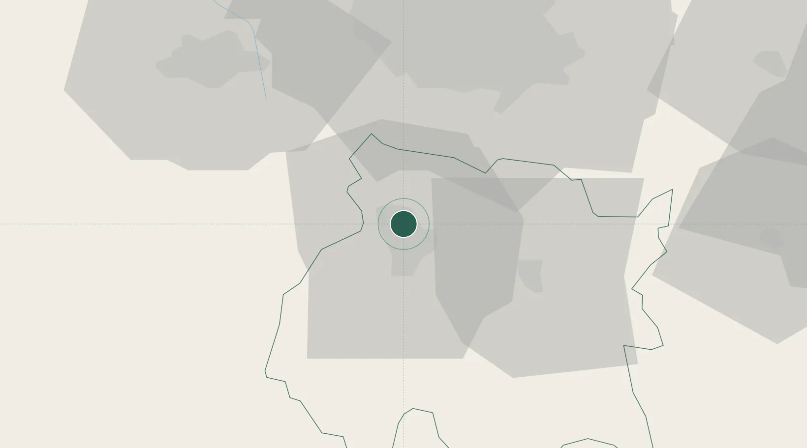
Location
Nearby Logistics Neighbours
Cities
- 1Xochitepec19 km
- 2Xochimancas22 km
- 3Miacatlan26 km
- 4Ayala33 km
- 5Zumpahuacán36 km
Ports
- 1Acapulco246 km
- 2Tuxpan292 km
- 3Veracruz325 km
- 4Lazaro Cardenas331 km
- 5Tampico390 km
Airports
DatabookThe Record of Consolidated Knowledge
Mexico beyond logistics?