Transport Functions
Rail
Road
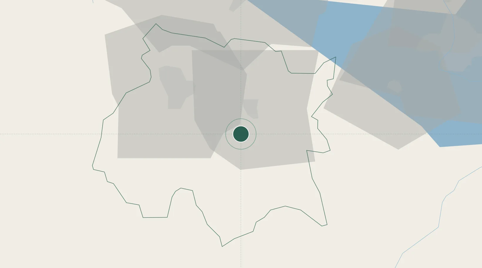
Hub Profile
Place type
Urban district
Region
Tamaulipas
Time zone
America/Matamoros
Elevation
37 m
Location
Nearby Logistics Neighbours
Cities
- 1Xochimancas13 km
- 2Xochitepec27 km
- 3Jojutla27 km
- 4Ahuatepec33 km
- 5Tepetlixpac36 km
Ports
- 1Acapulco234 km
- 2Tuxpan295 km
- 3Veracruz304 km
- 4Lazaro Cardenas348 km
- 5Tampico403 km
Airports
DatabookThe Record of Consolidated Knowledge
Mexico beyond logistics?