Transport Functions
Road
Multimodal
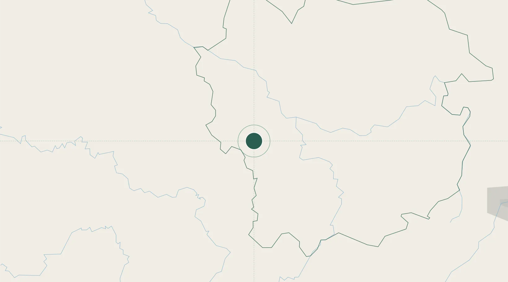
Location
Nearby Logistics Neighbours
Airports
- 1Kayes Dag Dag Airport111 km
- 2Kédougou Airport132 km
- 3Bakel Airport188 km
- 4Tambacounda Airport242 km
- 5Ouro Sogui Airport311 km
Trade Zones
- 1Mandé Industrial Zone390 km
- 2Sanankoroba Industrial Zone396 km
- 3Dialakorobougou Industrial Zone404 km
- 4Boké Special Economic Zone423 km
- 5Koulikoro Industrial Zone426 km
DatabookThe Record of Consolidated Knowledge
Mali beyond logistics?