Medium airport · Senegal
Bakel AirportGOTB
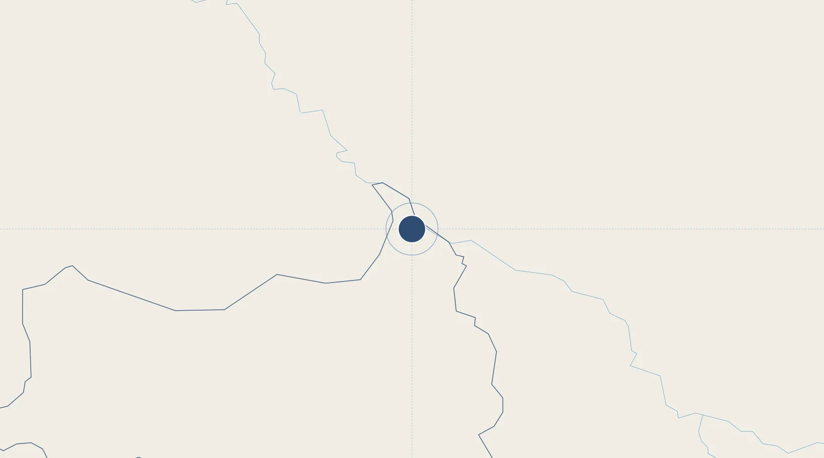
14.8473°, -12.4683°
5,741 ft
Longest runway
1
Runways
98 ft
Elevation
Runway & Layout

Runways · 1
| Runway | Dimensions | Surface | True heading | Lit |
|---|---|---|---|---|
| 07/25 | 5,741 × 98ft | Macadam | 059° | ✓ |
Airport Specifications
IATA code
BXE
ICAO code
GOTB
Airport class
Medium airport
Scheduled service
No
Runway surface
Macadam
Served city
Bakel
Location
Nearby Logistics Neighbours
Airports
- 1Kayes Dag Dag Airport122 km
- 2Ouro Sogui Airport124 km
- 3Tambacounda Airport178 km
- 4Kédougou Airport254 km
- 5Kaolack Airport394 km
Cities
- 1Korouma188 km
- 2Nouakchott353 km
- 3Bafatá381 km
- 4Farim397 km
- 5Binta410 km
Ports
- 1Lyndiane405 km
- 2St Louis453 km
- 3Banjul468 km
- 4Bissau477 km
- 5Rio Cacheu497 km
Trade Zones
DatabookThe Record of Consolidated Knowledge
Senegal beyond logistics?