UN/LOCODE hub · Thailand
THCHS

Chiang Saen Customs House

20.3167°, 100.0667°
2
Transport functions

Transport Functions

Port
Road
UN/LOCODE

Hub Profile

Region
57
GeoNames

Location

Location of THCHS
Natural Earth 10m (public domain) · 57 · THCHS · 20.32, 100.07GoogleOSMYandex

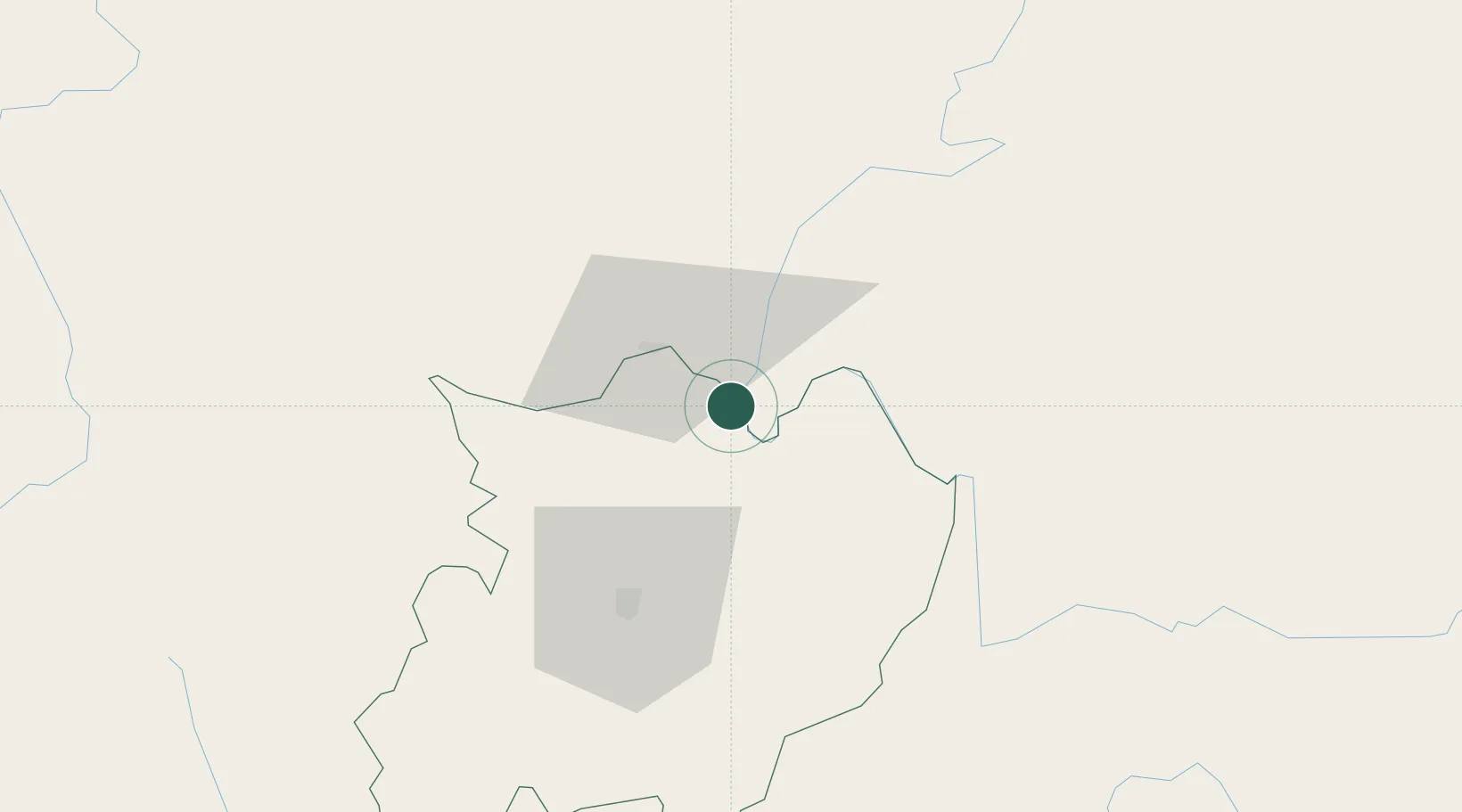
Nearby Logistics Neighbours

Cities
  1. 1Nateuy182 km
  2. 2Boten191 km
  3. 3Oudomxay203 km
  4. 4Jinghong204 km
  5. 5Luang Prabang228 km
Nearest neighbours — logibook spatial index (haversine) over the source coordinates
Ports
  1. 1Rangoon570 km
  2. 2Nghe Tinh622 km
  3. 3Bassein686 km
  4. 4Hai Phong692 km
  5. 5Bangkok732 km
Nearest neighbours — logibook spatial index (haversine) over the source coordinates
Airports
  1. 1Bokeo International Airport10 km
  2. 2Tachileik Airport23 km
  3. 3Mae Fah Luang - Chiang Rai International Airport45 km
  4. 4Mong Hsat Airport87 km
  5. 5Kengtung Airport118 km
Nearest neighbours — logibook spatial index (haversine) over the source coordinates
Trade Zones
  1. 1Golden Triangle Special Economic Zone5 km
  2. 2Chiang Rai Special Economic Zone51 km
  3. 3Boten Special Economic Zone189 km
  4. 4Boten Beautiful Land Specific Economic Zone192 km
  5. 5Creative Kingdom (Thailand) Co., Ltd.200 km
Nearest neighbours — logibook spatial index (haversine) over the source coordinates
DatabookThe Record of Consolidated Knowledge
Thailand beyond logistics?
Browse databook

All Sources

LocationsUN/LOCODE
UN/LOCODE — free
Portsthe NGA World Port Index
Public domain (US gov)
AirportsOurAirports
Public domain
Trade Zonesthe World Bank SEZ database
CC BY 4.0
Trade ZonesOpen Zone Map
CC BY
← Thailand locations