Transport Functions
Road
Multimodal
Hub Profile
Region
12
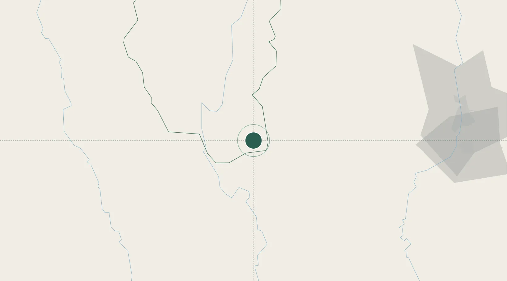
Location
Nearby Logistics Neighbours
Cities
- 1Yangon259 km
- 2Pazundaung260 km
- 3Thilawa267 km
- 4Kyaiklat304 km
- 5Kamphaeng Phet311 km
Ports
- 1Rangoon261 km
- 2Bassein373 km
- 3Sittwe527 km
- 4Bangkok622 km
- 5Ko Si Chang Terminal695 km
Airports
- 1Mae Hong Son Airport81 km
- 2Loikaw Airport127 km
- 3Chiang Mai International Airport137 km
- 4Lamphun Airport142 km
- 5Nay Pyi Taw International Airport189 km
Trade Zones
DatabookThe Record of Consolidated Knowledge
Myanmar (Burma) beyond logistics?