Small airport · Myanmar (Burma)
Bagan AirportVYBG
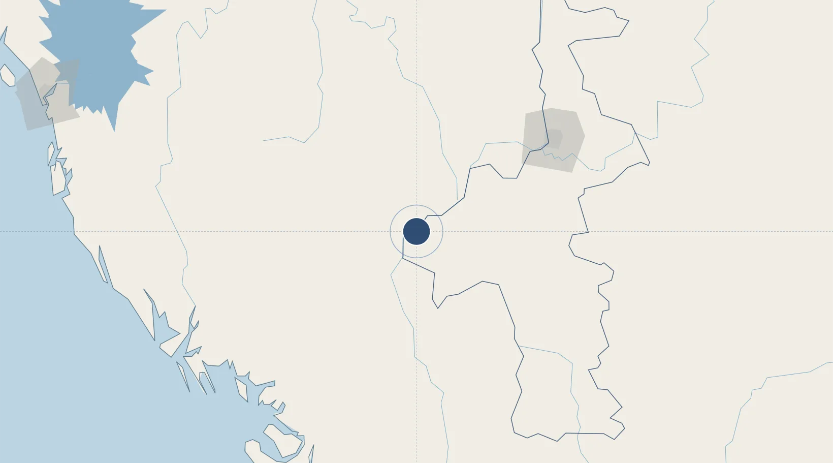
21.1788°, 94.9302°
8,500 ft
Longest runway
1
Runways
312 ft
Elevation
Runway & Layout

Radio Frequencies
TWR
118.1 MHz
APP
119.7 MHz
Navaids
BGN NDB Bagan 335 kHz
Runways · 1
| Runway | Dimensions | Surface | True heading | Lit |
|---|---|---|---|---|
| 18/36 | 8,500 × 100ft | Asphalt | 180° | ✓ |
Airport Specifications
IATA code
NYU
ICAO code
VYBG
Airport class
Small airport
Scheduled service
Yes
Runway surface
Asphalt
Served city
Nyaung U
Location
Nearby Logistics Neighbours
Airports
- 1Meiktila Air Base105 km
- 2Shante Air Base106 km
- 3Magway Airport113 km
- 4Mandalay International Airport123 km
- 5Heho Airport199 km
Cities
- 1Myit Nge142 km
- 2Chattogram349 km
- 3Mese402 km
- 4Moulvi Bazar489 km
- 5Payra Port490 km
Ports
- 1Sittwe241 km
- 2Chittagong346 km
- 3Bassein489 km
- 4Rangoon508 km
- 5Mongla569 km
Trade Zones
DatabookThe Record of Consolidated Knowledge
Myanmar (Burma) beyond logistics?