Runway & Layout

Airport Specifications
ICAO code
VYML
Airport class
Medium airport
Scheduled service
No
Served city
Meiktila
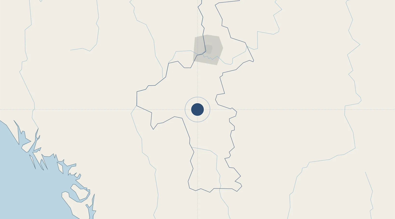
Location
Nearby Logistics Neighbours
Airports
- 1Shante Air Base7 km
- 2Mandalay International Airport91 km
- 3Heho Airport95 km
- 4Bagan Airport105 km
- 5Magway Airport127 km
Cities
- 1Myit Nge111 km
- 2Mese312 km
- 3Chattogram454 km
- 4Yangon456 km
- 5Pazundaung457 km
Ports
- 1Sittwe323 km
- 2Chittagong450 km
- 3Rangoon459 km
- 4Bassein472 km
- 5Mongla674 km
Trade Zones
DatabookThe Record of Consolidated Knowledge
Myanmar (Burma) beyond logistics?