Medium airport · Myanmar (Burma)
Heho AirportVYHH
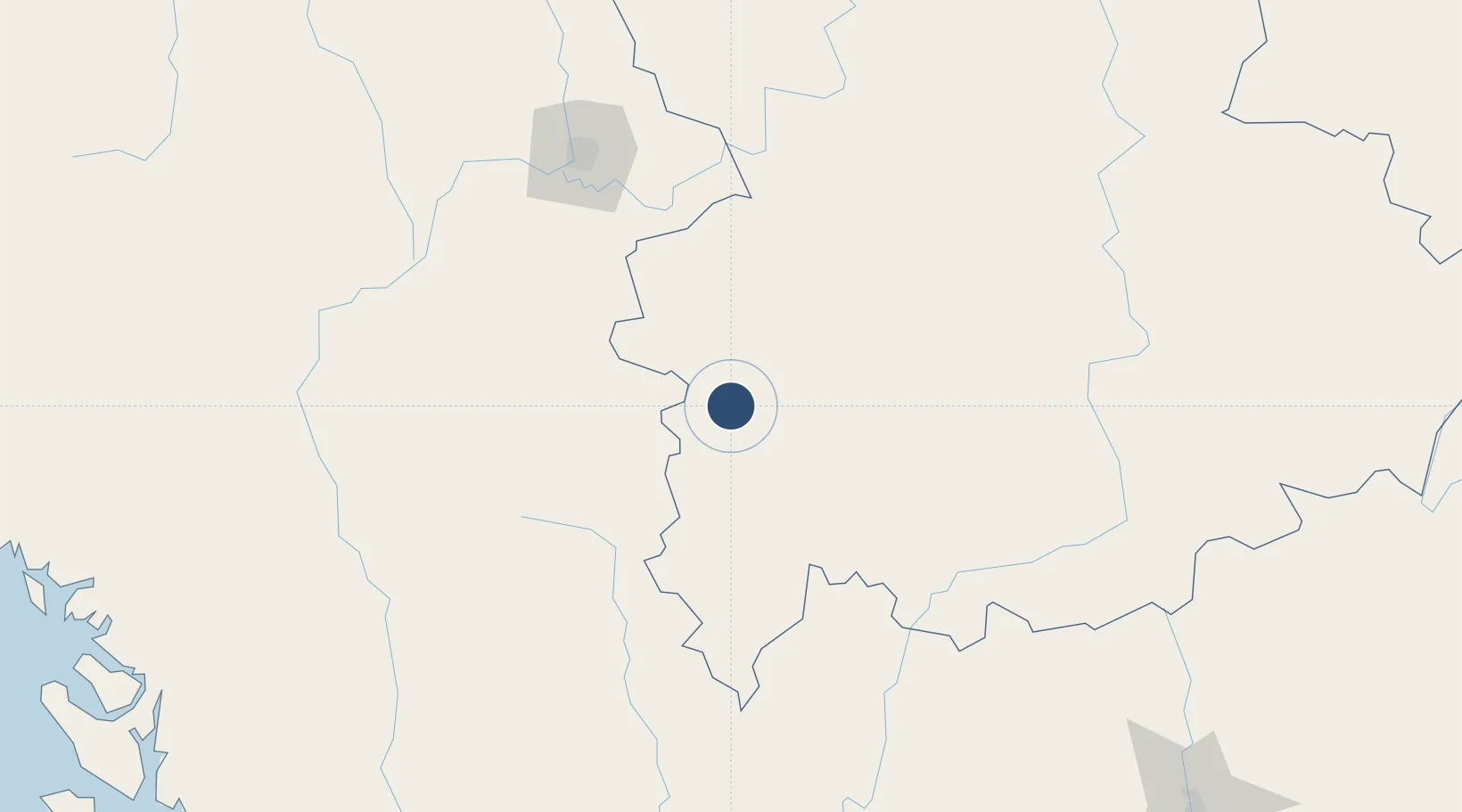
20.7471°, 96.7920°
8,500 ft
Longest runway
1
Runways
3,858 ft
Elevation
Runway & Layout

Runways · 1
| Runway | Dimensions | Surface | True heading | Lit |
|---|---|---|---|---|
| 18/36 | 8,500 × 148ft | Asphalt | — | ✓ |
Airport Specifications
IATA code
HEH
ICAO code
VYHH
Airport class
Medium airport
Scheduled service
Yes
Runway surface
Asphalt
Served city
Heho
Location
Nearby Logistics Neighbours
Airports
- 1Shante Air Base94 km
- 2Meiktila Air Base95 km
- 3Namsang Airport99 km
- 4Loikaw Airport125 km
- 5Mandalay International Airport136 km
Cities
- 1Myit Nge145 km
- 2Mese252 km
- 3Chiang Saen Customs House344 km
- 4Jinghong438 km
- 5Yangon444 km
Ports
- 1Sittwe411 km
- 2Rangoon448 km
- 3Bassein491 km
- 4Chittagong543 km
- 5Mongla768 km
DatabookThe Record of Consolidated Knowledge
Myanmar (Burma) beyond logistics?