Specialized Zone · Bangladesh
Sabrang Tourism Park Under Development
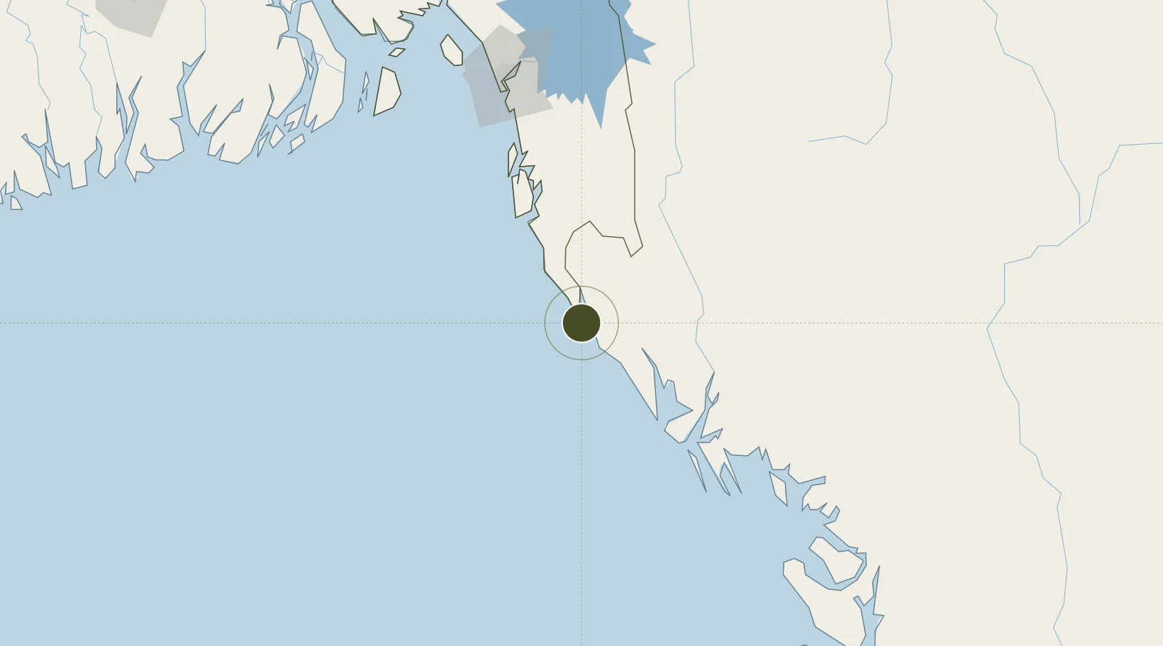
20.8480°, 92.2734°
415 ha
Zone area
102.8 km
Nearest port
75.0 km
Nearest airport
Gateway access
Zone profile
Zone type
Specialized Zone
Specialization
Tourism
Region
Chittagong
Status
Under Development
Management
Public
Operator
Bangladesh Economic Zones Authority
Legal framework
Bangladesh Economic Zones Act: 2010, Amendment of Bangladesh Economic Zones Act-2015:
Location
Nearby Logistics Neighbours
Ports
- 1Sittwe103 km
- 2Chittagong170 km
- 3Mongla330 km
- 4Calcutta449 km
- 5Haldia Port453 km
Airports
- 1Cox's Bazar Airport75 km
- 2Sittwe Airport101 km
- 3Shah Amanat International Airport163 km
- 4Saiha Helipad197 km
- 5Kyaukpyu Airport206 km
Cities
- 1Chattogram173 km
- 2Payra Port240 km
- 3Mongla331 km
- 4Narayanganj353 km
- 5Munshiganj353 km
DatabookThe Record of Consolidated Knowledge
Bangladesh beyond logistics?