Medium airport · Myanmar (Burma)
Shante Air BaseVYST
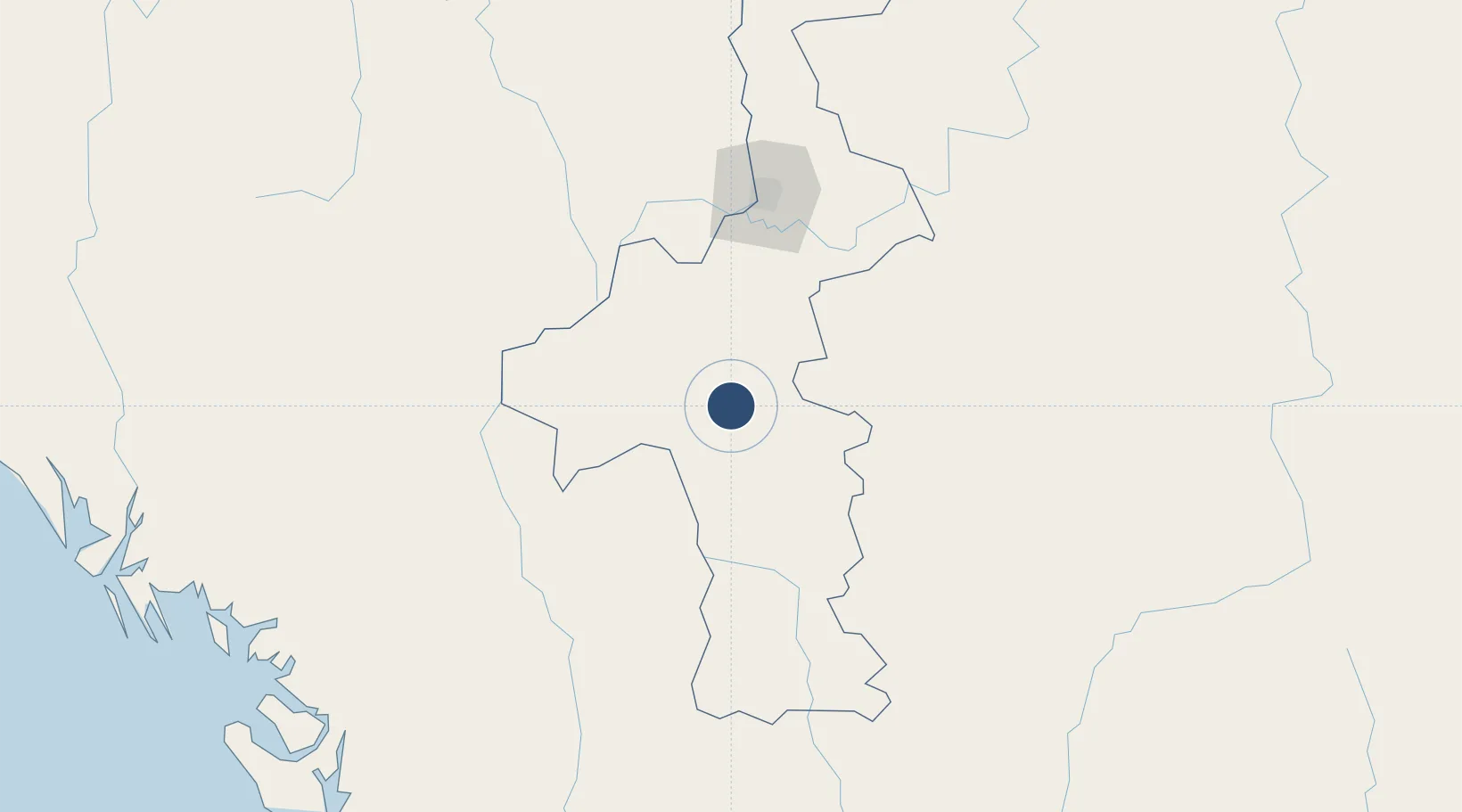
20.9417°, 95.9145°
8,501 ft
Longest runway
1
Runways
630 ft
Elevation
Runway & Layout

Radio Frequencies
TWR
118.7 MHz
MEIKTILA TWR
APP
119.7 MHz
MEIKTILA APP
Navaids
MKT NDB Meiktila 350 kHz
Runways · 1
| Runway | Dimensions | Surface | True heading | Lit |
|---|---|---|---|---|
| 01/19 | 8,501 × 150ft | Concrete | 007° | ✓ |
Airport Specifications
ICAO code
VYST
Airport class
Medium airport
Scheduled service
No
Runway surface
Concrete
Served city
Meiktila
Location
Nearby Logistics Neighbours
Airports
- 1Meiktila Air Base7 km
- 2Mandalay International Airport85 km
- 3Heho Airport94 km
- 4Bagan Airport106 km
- 5Magway Airport133 km
Cities
- 1Myit Nge104 km
- 2Mese315 km
- 3Chattogram453 km
- 4Yangon462 km
- 5Pazundaung463 km
Ports
- 1Sittwe327 km
- 2Chittagong450 km
- 3Rangoon465 km
- 4Bassein479 km
- 5Mongla674 km
Trade Zones
DatabookThe Record of Consolidated Knowledge
Myanmar (Burma) beyond logistics?