Large airport · Myanmar (Burma)

Mandalay International AirportVYMD
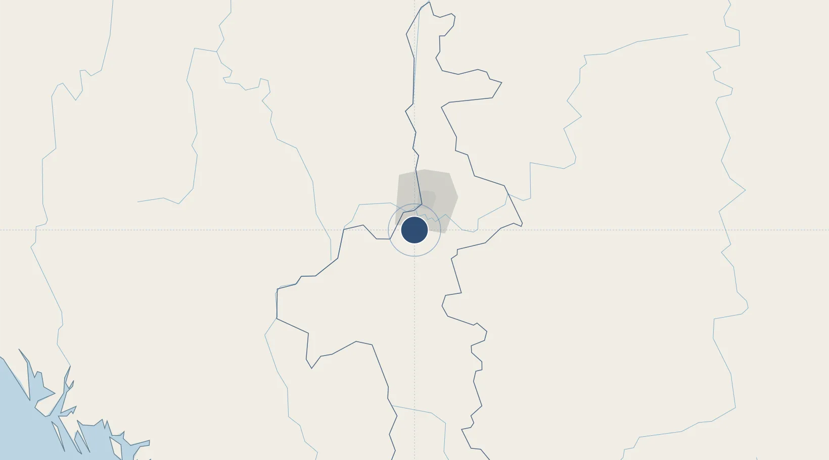
21.7022°, 95.9779°
14,003 ft
Longest runway
1
Runways
300 ft
Elevation

Runway & Layout

Mandalay International Airport runway & taxiway layout
Runway & taxiway layout — OpenStreetMap (ODbL) / OurAirports

Radio Frequencies

TWR
118.6 MHz
GND
121.725 MHz
APP
119.2 MHz
OurAirports

Navaids

MIA VOR-DME Mandalay 116.30 MHz
MIA NDB Mandalay 259 kHz
OurAirports

Runways · 1

RunwayDimensions SurfaceTrue headingLit
17/35 14,003 × 200ft Concrete 170°
OurAirports

Airport Specifications

IATA code
MDL
OurAirports
ICAO code
VYMD
OurAirports
Airport class
Large airport
OurAirports
Scheduled service
Yes
OurAirports
Runway surface
Concrete
OurAirports
Served city
Mandalay
OurAirports

Location

Location of VYMD
Natural Earth 10m (public domain) · Mandalay · VYMD · 21.70, 95.98GoogleOSMYandex

Nearby Logistics Neighbours

Airports
  1. 1Shante Air Base85 km
  2. 2Meiktila Air Base91 km
  3. 3Bagan Airport123 km
  4. 4Heho Airport136 km
  5. 5Momeik Airport169 km
Nearest neighbours — logibook spatial index (haversine) over the source coordinates
Cities
  1. 1Myit Nge21 km
  2. 2Mese384 km
  3. 3Chattogram437 km
  4. 4Moulvi Bazar529 km
  5. 5Yangon546 km
Nearest neighbours — logibook spatial index (haversine) over the source coordinates
Ports
  1. 1Sittwe364 km
  2. 2Chittagong434 km
  3. 3Rangoon549 km
  4. 4Bassein562 km
  5. 5Mongla663 km
Nearest neighbours — logibook spatial index (haversine) over the source coordinates
Trade Zones
  1. 1Menglian Meng-A Border Economic Cooperation Zone379 km
  2. 2Naf Tourism Park: Jaliardwip393 km
  3. 3Sabrang Tourism Park395 km
  4. 4Moheshkhali Economic Zone - 1, Coxs Bazar415 km
  5. 5Patia Economic Zone419 km
Nearest neighbours — logibook spatial index (haversine) over the source coordinates
DatabookThe Record of Consolidated Knowledge
Myanmar (Burma) beyond logistics?
Browse databook

All Sources

AirportsOurAirports
Public domain
Portsthe NGA World Port Index
Public domain (US gov)
LocationsUN/LOCODE
UN/LOCODE — free
Trade Zonesthe World Bank SEZ database
CC BY 4.0
Trade ZonesOpen Zone Map
CC BY
InfrastructureOpenStreetMap
ODbL 1.0
← Myanmar (Burma) airports