Channel & Berth Profile
Pilotage, Tugs & Services
Pilotage compulsoryYES
Pilotage advisableYES
Tug assistanceNO
Potable waterYES
Diesel bunkersNO
MedicalYES
Facilities & Capabilities
Container—
Ro-Ro—
Liquid bulk—
Dry bulk—
Oil terminal—
Break bulk—
Dry dock—
RepairsNO
BunkeringNO
Rail linkYES
Dangerous cargo—
ISPS security—
Harbour Specifications
Harbour size
Small
Harbour type
River (Natural)
Shelter
Good
Water body
Andaman Sea; Indian Ocean
Tidal range
2.3 m
Overhead limit
No
Pilotage
Yes
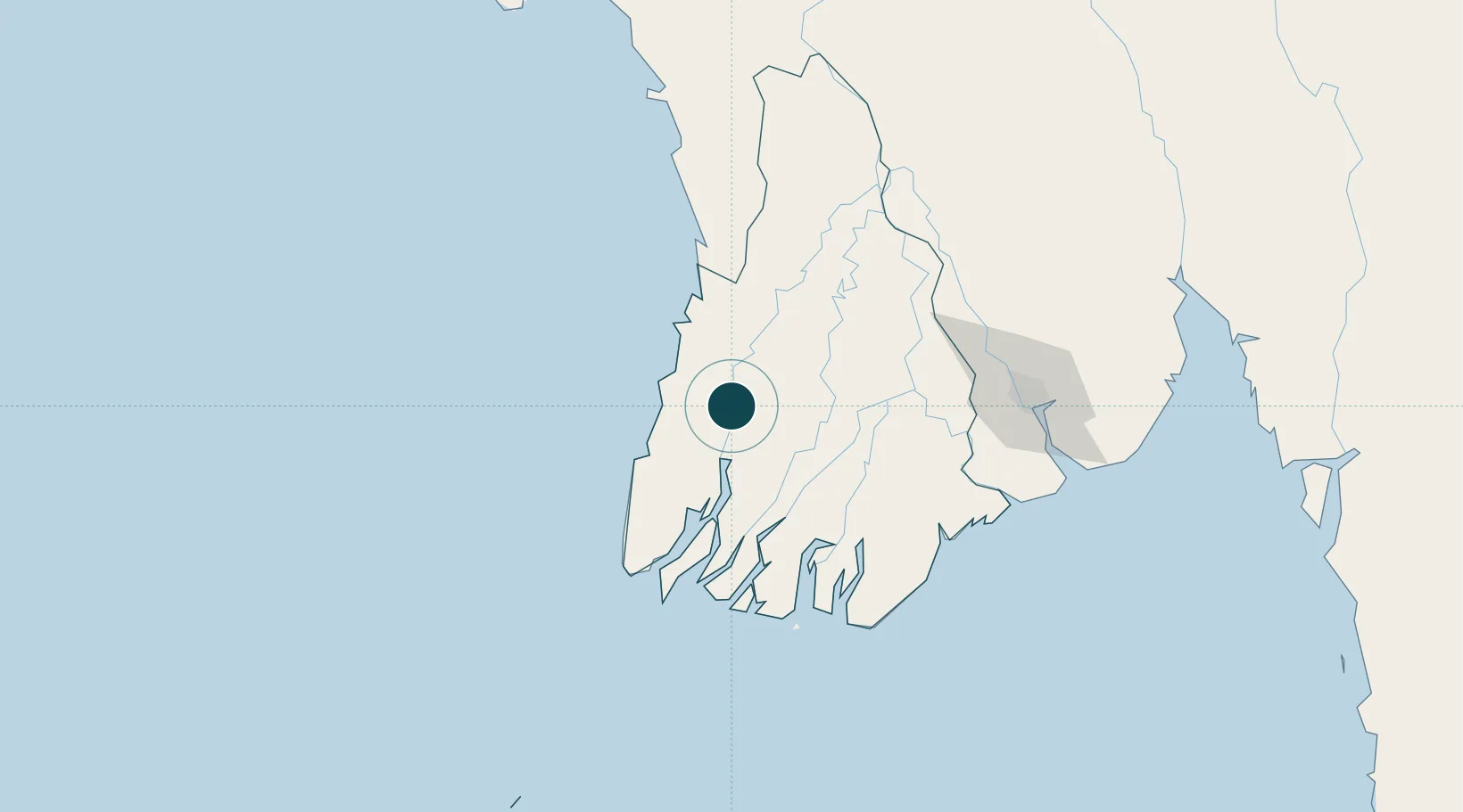
Location
Nearby Logistics Neighbours
Ports
- 1Rangoon153 km
- 2Sittwe420 km
- 3Port Blair607 km
- 4Mergui638 km
- 5Chittagong687 km
Cities
- 1Kyaiklat114 km
- 2Yangon152 km
- 3Pazundaung153 km
- 4Thilawa162 km
- 5Mese373 km
Airports
- 1Pathein Airport6 km
- 2Yangon International Airport150 km
- 3Thandwe Airport192 km
- 4Mawlamyine Airport314 km
- 5Kyaukpyu Airport320 km
Trade Zones
DatabookThe Record of Consolidated Knowledge
Myanmar (Burma) beyond logistics?