Transport Functions
Rail
Road
Hub Profile
Place type
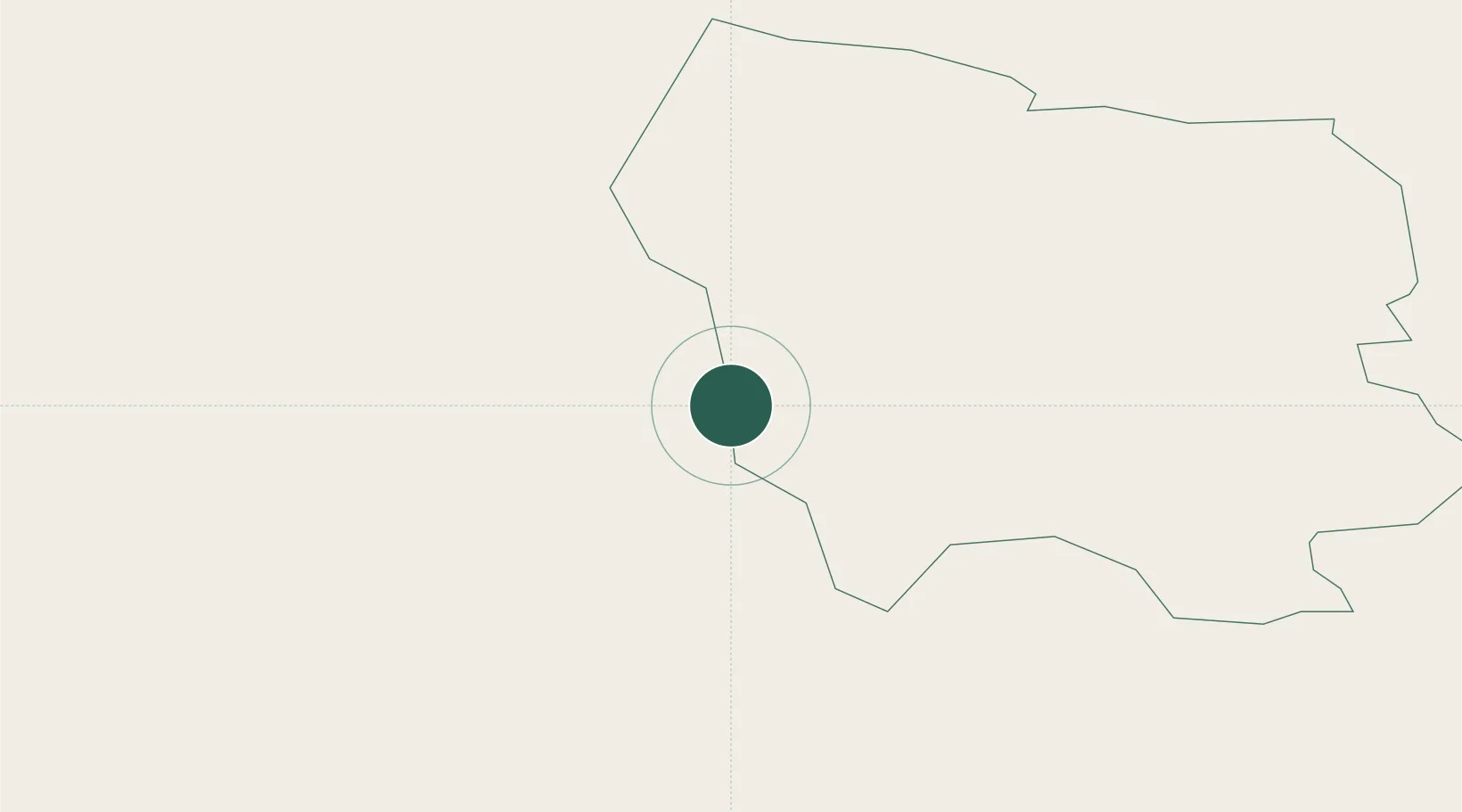
Regional capital
Region
Saldus Rajons
Population
9,553
Time zone
Europe/Riga
Elevation
92 m
Location
Nearby Logistics Neighbours
Cities
- 1Broceni4 km
- 2Auce33 km
- 3Mazeikiai40 km
- 4Naujoji Akmene46 km
- 5Dobele48 km
Ports
- 1Liepaja92 km
- 2Ventspils100 km
- 3Riga102 km
- 4Butinge Oil Terminal119 km
- 5Klaipeda136 km
Airports
- 1Jūrmala Airport54 km
- 2Liepāja International Airport88 km
- 3Barysiai Airfield93 km
- 4Riga International Airport94 km
- 5Šiauliai International Airport102 km
Trade Zones
- 1Akmenė Free Economic Zone49 km
- 2Liepāja SEZ100 km
- 3ō iauliai Free Economic Zone101 km
- 4Free port of Ventspils101 km
- 5Free Port of Riga103 km
DatabookThe Record of Consolidated Knowledge
Latvia beyond logistics?