Export Processing Zone · Latvia
Free port of Ventspils Active
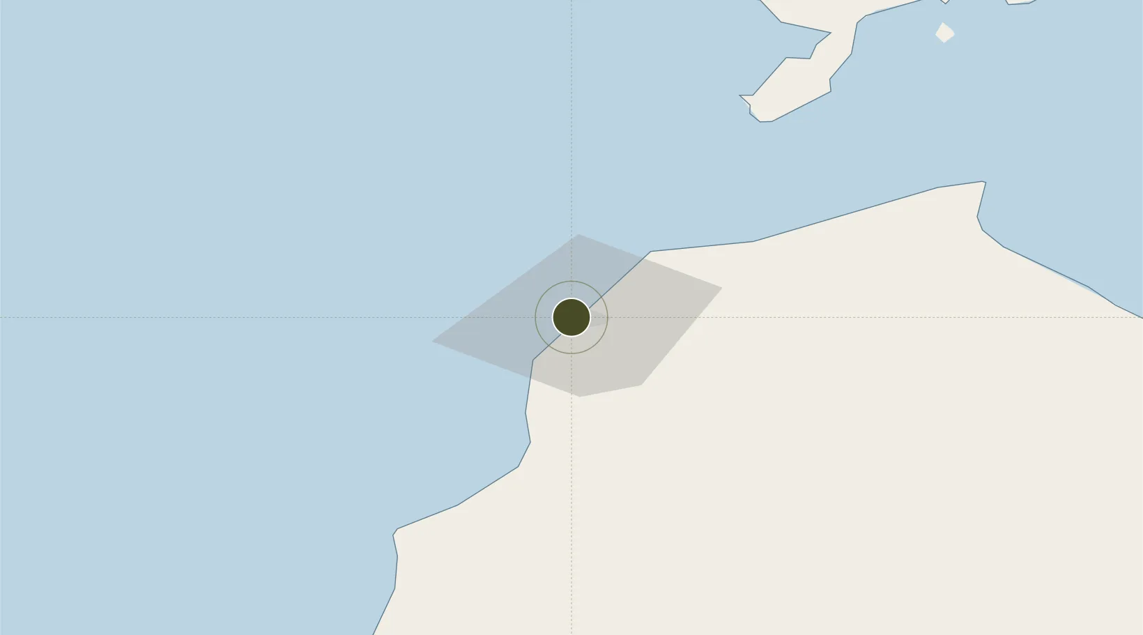
57.4008°, 21.5219°
2,451 ha
Zone area
0.7 km
Nearest port
101.5 km
Nearest airport
Gateway access
Zone profile
Zone type
Export Processing Zone
Region
Ventspils
Status
Active
Management
Public
Operator
Ventas Osta
Legal framework
Ventspils Freeport Law of 1997, On the Application of Taxes in Free Ports and Special Economic Zones: Latvian Legislation: 2001
Location
Nearby Logistics Neighbours
Ports
- 1Ventspils1 km
- 2Liepaja103 km
- 3Roomassaare108 km
- 4Saaremaa sadam133 km
- 5Butinge Oil Terminal156 km
Airports
- 1Liepāja International Airport102 km
- 2Kuressaare Airport109 km
- 3Ruhnu Airfield112 km
- 4Jūrmala Airport115 km
- 5Riga International Airport157 km
Cities
- 1Pavilosta61 km
- 2Valdgale64 km
- 3Mõntu Väikelaevade Sadam71 km
- 4Mõntu71 km
- 5Kaavi Paadisadam76 km
Trade Zones
- 1Liepāja SEZ126 km
- 2Akmenė Free Economic Zone148 km
- 3Free Port of Riga163 km
- 4ō iauliai Free Economic Zone201 km
- 5Klaipėda Free Economic Zone222 km
DatabookThe Record of Consolidated Knowledge
Latvia beyond logistics?