Transport Functions
Rail
Road
Hub Profile
Place type
Regional capital
Region
Dobele Municipality
Population
8,536
Time zone
Europe/Riga
Elevation
37 m
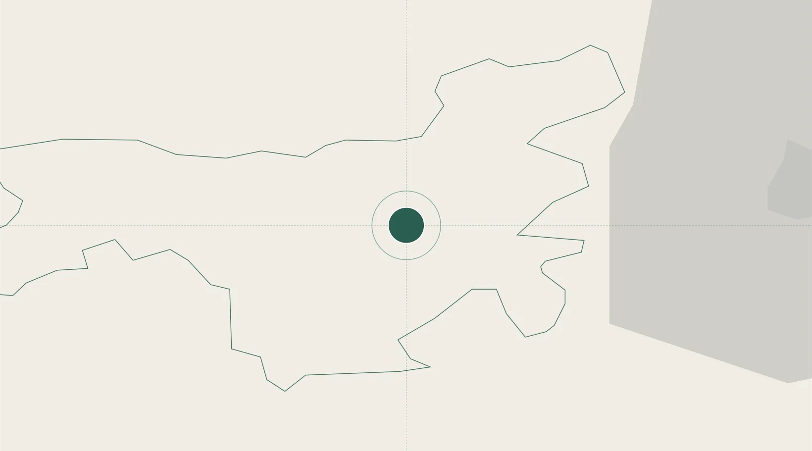
Location
Nearby Logistics Neighbours
Cities
- 1Jelgava26 km
- 2Auce29 km
- 3Tukums40 km
- 4Naujoji Akmene41 km
- 5Olaine44 km
Ports
- 1Riga62 km
- 2Salacgriva137 km
- 3Ventspils137 km
- 4Liepaja139 km
- 5Butinge Oil Terminal158 km
Airports
- 1Jūrmala Airport36 km
- 2Riga International Airport54 km
- 3Barysiai Airfield63 km
- 4Šiauliai International Airport81 km
- 5Panevėžys Air Base123 km
Trade Zones
- 1Akmenė Free Economic Zone53 km
- 2Free Port of Riga62 km
- 3ō iauliai Free Economic Zone80 km
- 4Free port of Ventspils138 km
- 5Panevėžys Free Economic Zone142 km
DatabookThe Record of Consolidated Knowledge
Latvia beyond logistics?