Transport Functions
Rail
Road
Hub Profile
Place type
Populated place
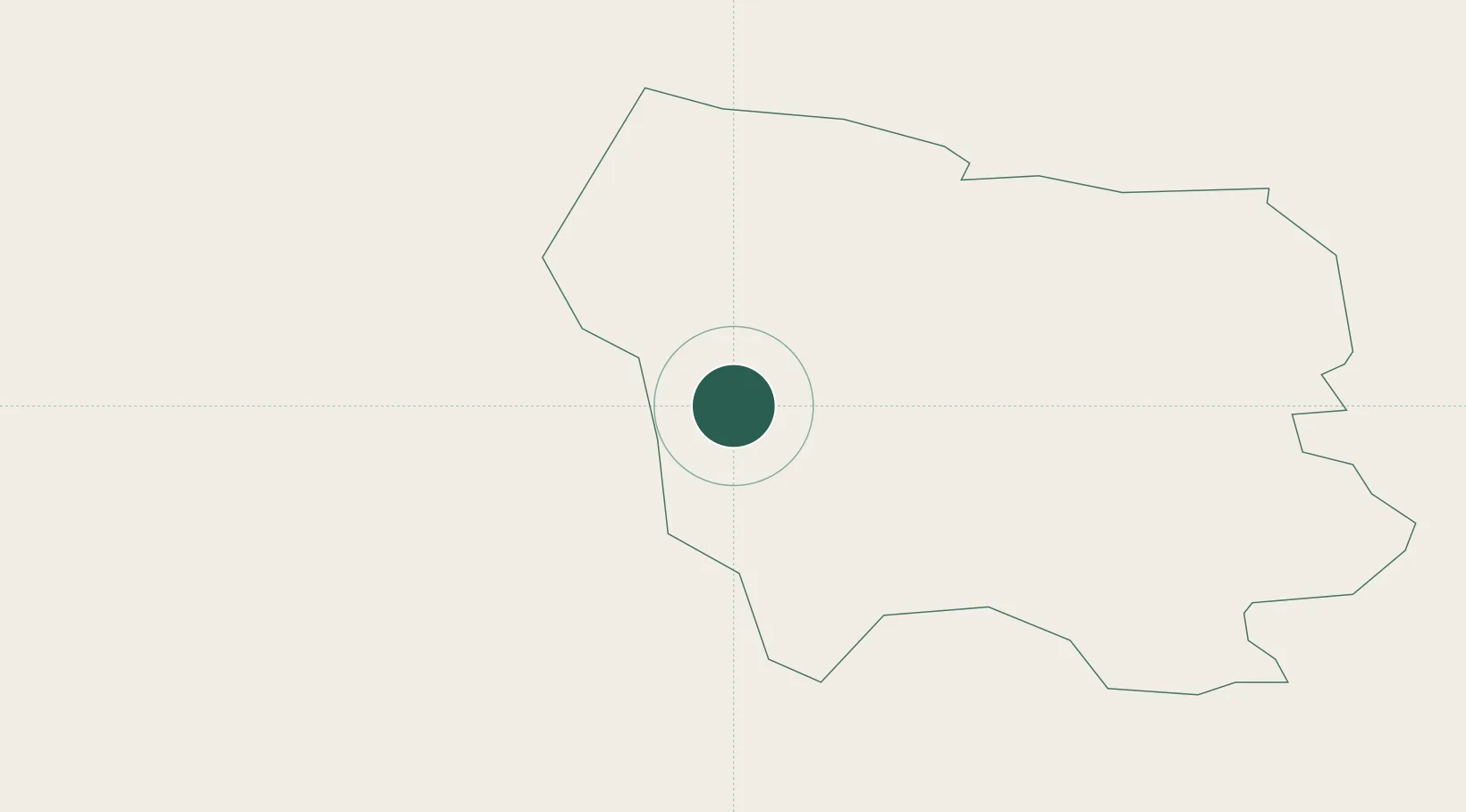
Region
Saldus Rajons
Population
2,834
Time zone
Europe/Riga
Elevation
114 m
Location
Nearby Logistics Neighbours
Cities
- 1Saldus4 km
- 2Auce34 km
- 3Mazeikiai44 km
- 4Dobele47 km
- 5Naujoji Akmene48 km
Ports
- 1Liepaja95 km
- 2Ventspils99 km
- 3Riga99 km
- 4Butinge Oil Terminal123 km
- 5Klaipeda140 km
Airports
- 1Jūrmala Airport50 km
- 2Liepāja International Airport90 km
- 3Riga International Airport91 km
- 4Barysiai Airfield94 km
- 5Šiauliai International Airport104 km
Trade Zones
- 1Akmenė Free Economic Zone52 km
- 2Free port of Ventspils99 km
- 3Free Port of Riga99 km
- 4ō iauliai Free Economic Zone103 km
- 5Liepāja SEZ103 km
DatabookThe Record of Consolidated Knowledge
Latvia beyond logistics?