Transport Functions
Rail
Road
Airport
Postal
Hub Profile
Place type
National capital
Region
Vilnius
Population
542,366
Time zone
Europe/Vilnius
Elevation
98 m
Logistics facilities
1
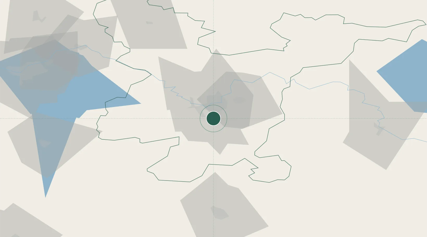
Location
Nearby Logistics Neighbours
Cities
- 1Vaidotai5 km
- 2Vilnius13 km
- 3Senieji Trakai18 km
- 4Kena31 km
- 5Salcininkai32 km
Ports
- 1Riga273 km
- 2Klaipeda291 km
- 3Kaliningrad306 km
- 4Butinge Oil Terminal316 km
- 5Liepaja342 km
Airports
- 1Vilnius International Airport7 km
- 2Jonava Air Base74 km
- 3Kaunas International Airport85 km
- 4Kėdainiai Air Base115 km
- 5Hrodna Airport133 km
Trade Zones
DatabookThe Record of Consolidated Knowledge
Lithuania beyond logistics?