Medium airport · Lithuania

Jonava Air BaseLT-9520
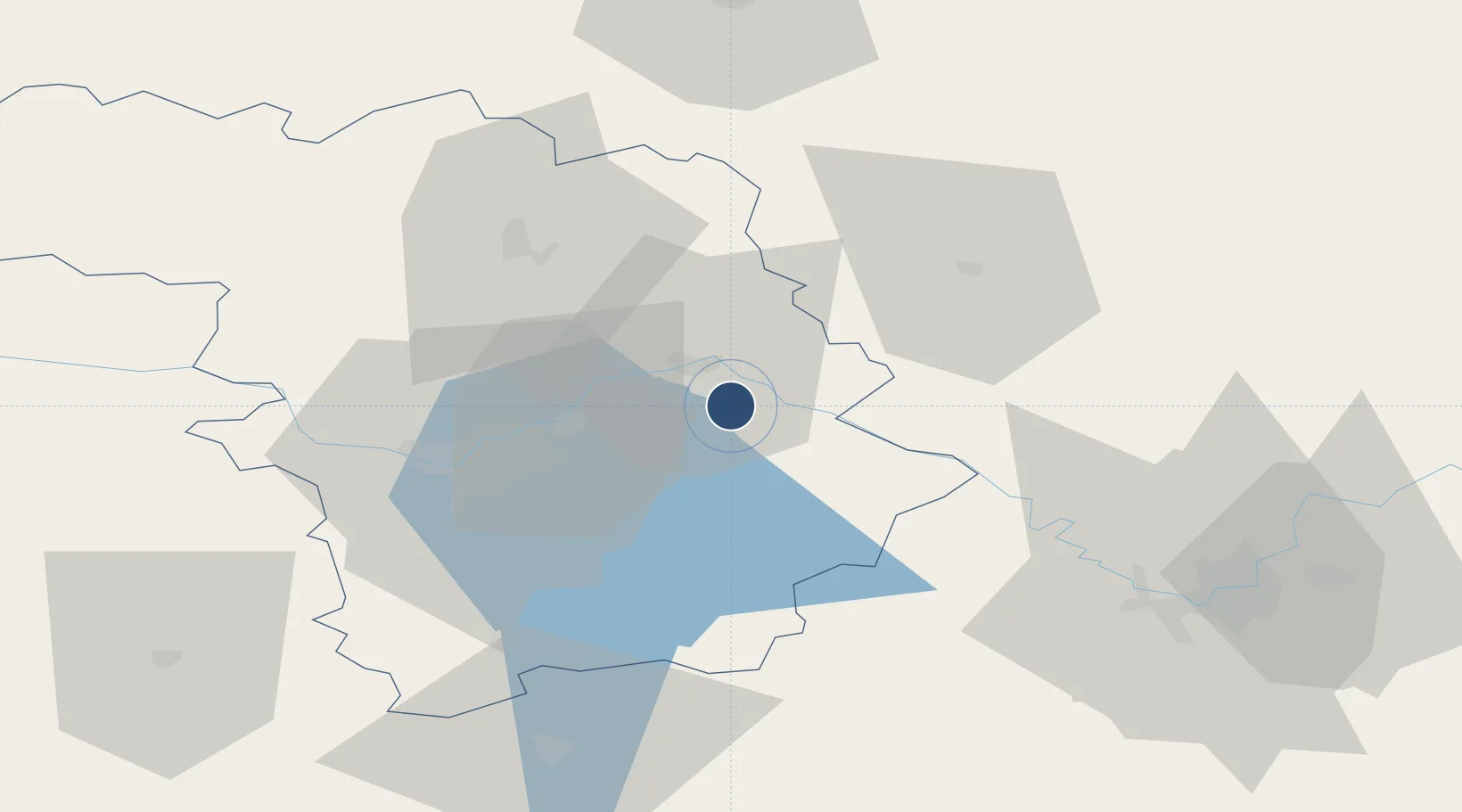
55.0100°, 24.3633°
7,874 ft
Longest runway
1
Runways
246 ft
Elevation

Runway & Layout

Jonava Air Base runway & taxiway layout
Runway & taxiway layout — OpenStreetMap (ODbL) / OurAirports

Runways · 1

RunwayDimensions SurfaceTrue headingLit
12/30 7,874 × 131ft Concrete
OurAirports

Airport Specifications

Airport class
Medium airport
OurAirports
Scheduled service
No
OurAirports
Runway surface
Concrete
OurAirports
Served city
Jonava
OurAirports

Location

Location of LT-9520
Natural Earth 10m (public domain) · Kauno · LT-9520 · 55.01, 24.36GoogleOSMYandex

Nearby Logistics Neighbours

Airports
  1. 1Kaunas International Airport18 km
  2. 2Kėdainiai Air Base42 km
  3. 3Vilnius International Airport72 km
  4. 4Panevėžys Air Base80 km
  5. 5Šiauliai International Airport116 km
Nearest neighbours — logibook spatial index (haversine) over the source coordinates
Cities
  1. 1Jonava9 km
  2. 2Kaisiadorys17 km
  3. 3Ukmerge37 km
  4. 4Sirvintos39 km
  5. 5Vievis39 km
Nearest neighbours — logibook spatial index (haversine) over the source coordinates
Ports
  1. 1Riga216 km
  2. 2Klaipeda220 km
  3. 3Butinge Oil Terminal243 km
  4. 4Kaliningrad251 km
  5. 5Liepaja268 km
Nearest neighbours — logibook spatial index (haversine) over the source coordinates
Trade Zones
  1. 1Kaunas Free Economic Zone24 km
  2. 2Kėdainiai Free Economic Zone37 km
  3. 3Panevėžys Free Economic Zone50 km
  4. 4Marijampolė Free Economic Zone87 km
  5. 5ō iauliai Free Economic Zone117 km
Nearest neighbours — logibook spatial index (haversine) over the source coordinates
DatabookThe Record of Consolidated Knowledge
Lithuania beyond logistics?
Browse databook

All Sources

AirportsOurAirports
Public domain
Portsthe NGA World Port Index
Public domain (US gov)
LocationsUN/LOCODE
UN/LOCODE — free
Trade Zonesthe World Bank SEZ database
CC BY 4.0
Trade ZonesOpen Zone Map
CC BY
InfrastructureOpenStreetMap
ODbL 1.0
← Lithuania airports