Diversified Zone · Belarus
Free Economic Zone Grodnoinvest Active
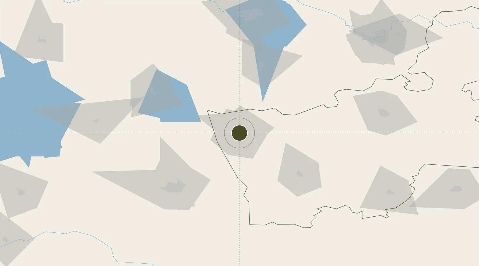
53.7048°, 23.8158°
4,195 ha
Zone area
243.3 km
Nearest port
19.4 km
Nearest airport
Gateway access
Zone profile
Zone type
Diversified Zone
Region
Grodno
Status
Active
Management
Public
Operator
Administration of Grodnoinvest Free Economic Zone
Legal framework
Law No. 213-3, No. 1817 of 17.12.2001, No. 1520 of 20.10.2010.
Location
Nearby Logistics Neighbours
Ports
- 1Kaliningrad243 km
- 2Baltiysk275 km
- 3Klaipeda283 km
- 4Butinge Oil Terminal317 km
- 5Gdansk344 km
Airports
- 1Hrodna Airport19 km
- 2Vilnius International Airport141 km
- 3Kaunas International Airport141 km
- 4Osovtsy Air Base146 km
- 5Jonava Air Base149 km
Cities
- 1Grodno4 km
- 2Kuznica Bialostocka25 km
- 3Dabrowa Bialostocka31 km
- 4Augustów56 km
- 5Shchuchyn61 km
Trade Zones
- 1Suwałki SEZ (Suwalska SSE)74 km
- 2Marijampolė Free Economic Zone100 km
- 3Kaunas Free Economic Zone138 km
- 4Kėdainiai Free Economic Zone174 km
- 5Free Economic Zone Brest179 km
DatabookThe Record of Consolidated Knowledge
Belarus beyond logistics?