Seaport · Russia
KaliningradRUKGD
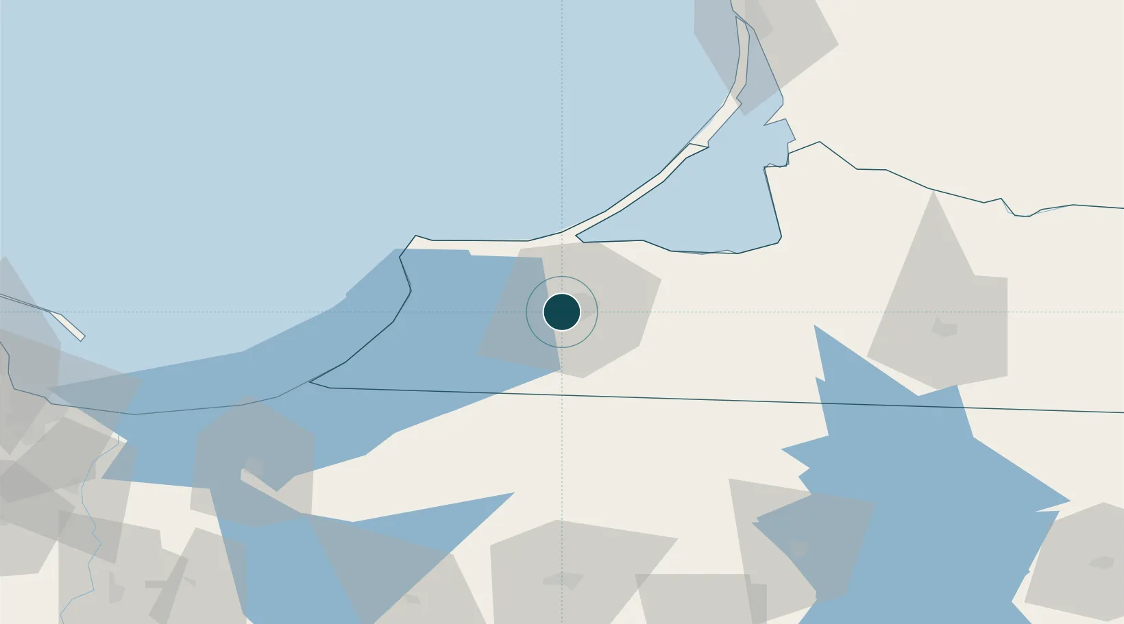
54.7000°, 20.4833°
7.9 m
Channel depth
2
Container terminals
62.7
Port liner connectivity
Channel & Berth Profile
Pilotage, Tugs & Services
Pilotage compulsoryYES
Pilotage availableYES
Pilotage advisableYES
Shore powerYES
Potable waterYES
Diesel bunkersYES
MedicalYES
Garbage disposalYES
Facilities & Capabilities
ContainerYES
Ro-RoYES
Liquid bulkYES
Dry bulkYES
Oil terminal—
Break bulkYES
Dry dockNO
RepairsNO
BunkeringYES
Rail linkYES
Dangerous cargo—
ISPS security—
Harbour Specifications
Harbour size
Medium
Harbour type
River (Basins)
Shelter
Excellent
Water body
Baltic Sea; North Atlantic Ocean
Overhead limit
Yes
Pilotage
Yes
Liner Connectivity
62.7
PLSCI
Port Liner Shipping Connectivity Index for Kaliningrad, as published by UNCTAD for the latest available quarter. Higher values indicate stronger scheduled liner-shipping integration.
Shown relative to the highest per-port PLSCI in the dataset (1,657.9).
Location
Container Terminals · 2
BALTIYSK TERMINAL (BSC)
BSC LLC BALTIC STEVEDORING COMPANY (BSC)
KALININGRAD COMMERCIAL PORT
KSCP JSC KALININGRAD SEA COMMERCIAL PORT (KSCP)
Nearby Logistics Neighbours
DatabookThe Record of Consolidated Knowledge
Russia beyond logistics?